Map of Northbrook, Illinois
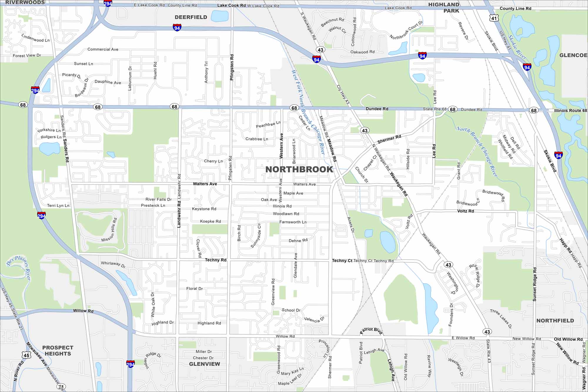
Our map of Northbrook highlights a northern suburb of Chicago. Highways, ponds, and residential areas shape the city’s layout. It also has easy access to forest preserves.
Illinois State Maps
Get to know Illinois with our state maps


Map Information
On the Map
Interstates/Highways: I-94, I-294, US Hwy 41, US Hwy 45, State Rte 68, State Rte 43 Major Roads: Dundee Rd, Waukegan Rd, Willow Rd, Shermer Rd, Lake Cook Rd, Techny Rd, Pfingsten Rd, Landwehr Rd, Sanders Rd, Skokie Blvd, Happ Rd, Sunset Ridge Ridge Rd, Wagner Rd, Walters Ave, Voltz Rd, Lee Rd, Western Ave, Cherry Ln, Cedar Ln, Church St Major Rivers: West Fork North Branch Chicago River, North Branch Chicago River, Skokie River, Des Plaines River Nearby Communities: Deerfield, Highland Park, Glencoe, Northfield, Glenview, Prospect Heights, RiverwoodsIllinois City Maps
Explore Chicago and urban regions of Illinois


