Map of Oak Park, Illinois
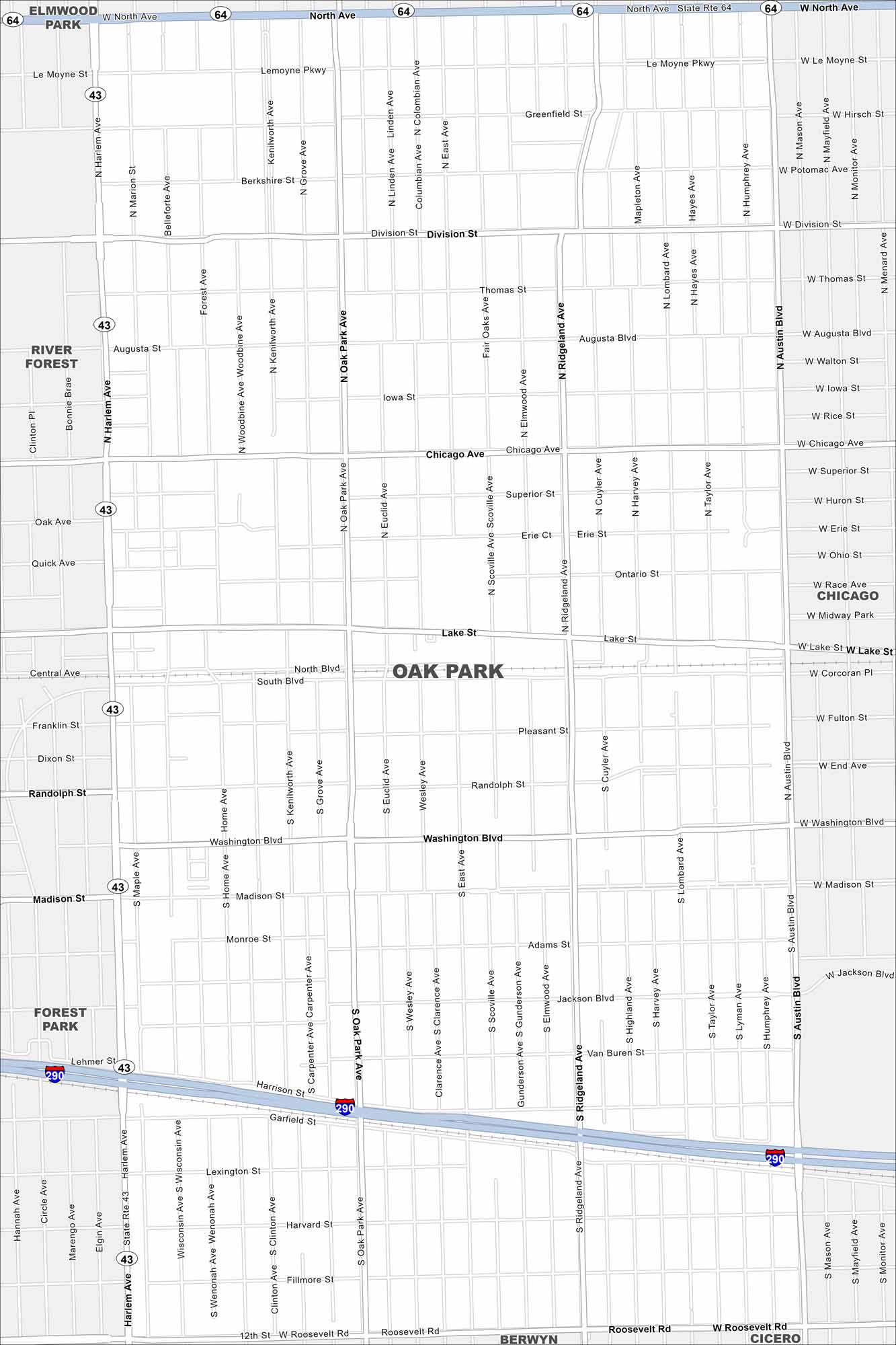
Our map of Oak Park outlines this suburb directly west of Chicago. The street grid is dense, with historic homes and cultural landmarks throughout. Frank Lloyd Wright’s legacy is especially well-known here.
Illinois State Maps
Get to know Illinois with our state maps


Map Information
On the Map
Interstates/Highways: I-290, State Rte 64, State Rte 43 Major Roads: North Ave, Roosevelt Rd, Harlem Ave, Austin Blvd, Madison St, Lake St, Chicago Ave, Division St, Washington Blvd, Ridgeland Ave, Oak Park Ave, Marion St, Lathrop Ave, Woodbine Ave, Kenilworth Ave, Linden Ave, East Ave, Scoville Ave, Cuyler Ave, Highland Ave Nearby Communities: Elmwood Park, Chicago, Cicero, Berwyn, Forest Park, River ForestIllinois City Maps
Explore Chicago and urban regions of Illinois


