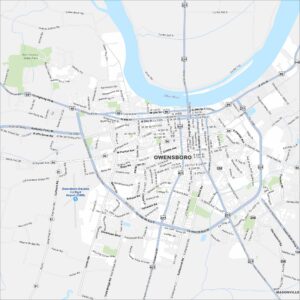
Map of Owensboro, Kentucky
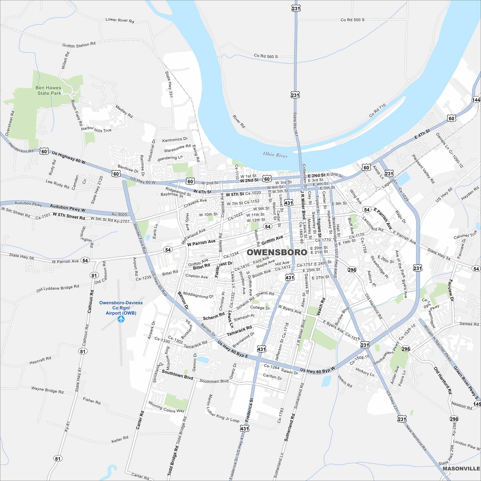
Owensboro sits on the Ohio River with a waterfront downtown. Our map highlights bridges, parks, and neighborhood streets. It’s often called the “Barbecue Capital of the World”.
Kentucky State Maps
Our Kentucky maps reveal the Bluegrass State


Map Information
On the Map
Interstates/Highways: US Hwy 60, US Hwy 231, US Hwy 431, State Rte 54, State Rte 81, State Rte 144, State Rte 298, State Rte 331 Major Roads: Wendel Ford Byp, Audubon Pkwy, W Parrish Ave, E Parrish Ave, Frederica St, J R Miller Blvd, New Hartford Rd, Old Hartford Rd, W 4th St, E 4th St, W 2nd St, E 2nd St, Southtown Blvd, Tamarack Rd, Scherm Rd, Bittel Rd, Carter Rd, Goetz Dr, Triplett St, Daviess St Airports: Owensboro-Daviess Co Rgnl Airport (OWB) Major Rivers: Ohio River Parks and Preserves: Ben Hawes State Park Nearby Communities: MasonvilleCity Maps of Kentucky
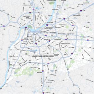
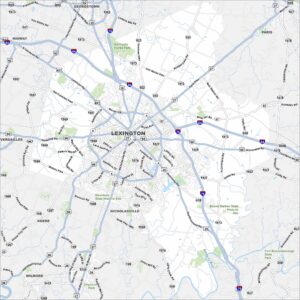
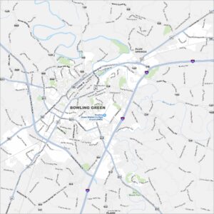
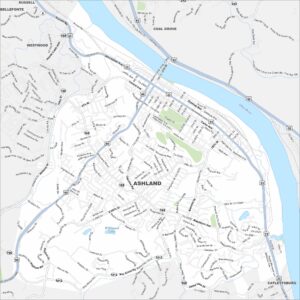
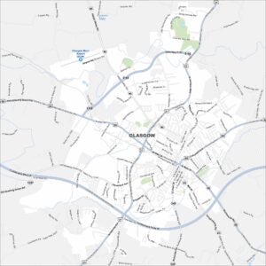
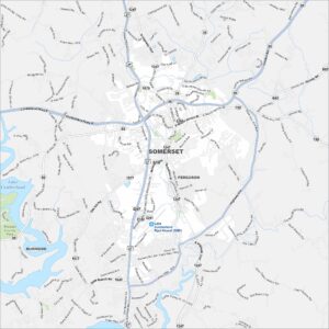
Here are Kentucky’s cities in full detail