Map of Ozark, Missouri
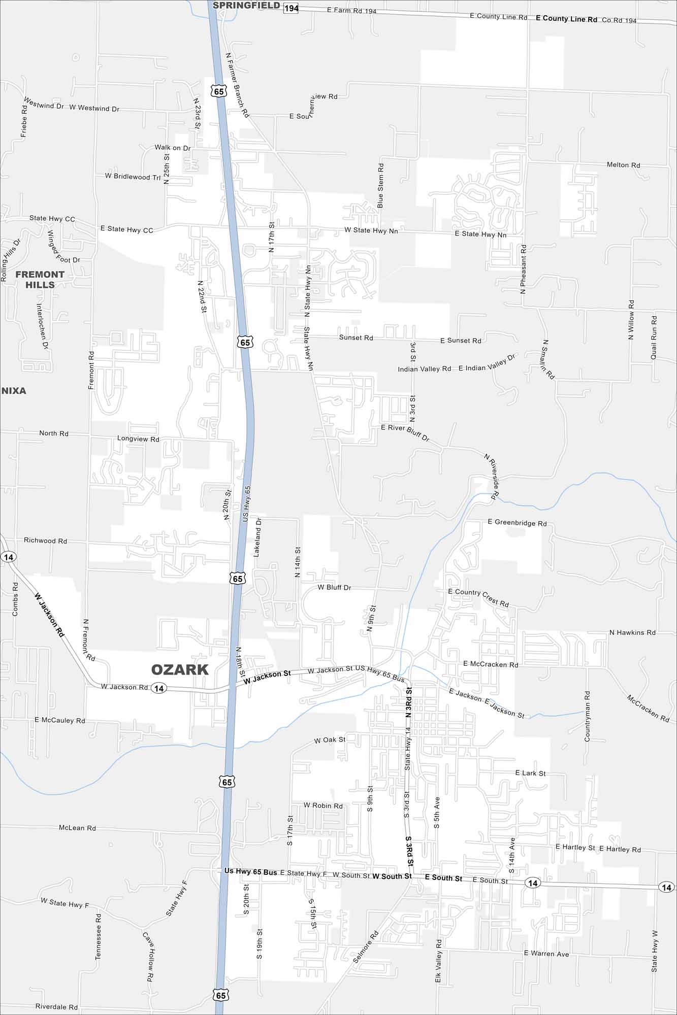
Our map of Ozark shows this city, located between Springfield and Branson. Suburban neighborhoods spread across rolling hills. The town serves as a gateway to the Ozarks region.
Map Information
On the Map
Interstates/Highways: US Hwy 65, US Hwy 65 Bus, State Hwy 14 Major Roads: Jackson St, McCracken Rd, Selmore Rd, South St, 3rd St, 9th St, 17th St, 22nd St, 25th St, Fremont Rd, Longview Rd, River Bluff Dr, Riverside Rd, Greenbridge Rd, Country Crest Rd, Hartley St, Warren Ave, McLean Rd Nearby Communities: Springfield, Fremont Hills, NixaMissouri State Maps
Check out state maps of the Show-Me State.


Missouri City Maps
Here are our city maps for Missouri


