Map of Port Royal, South Carolina
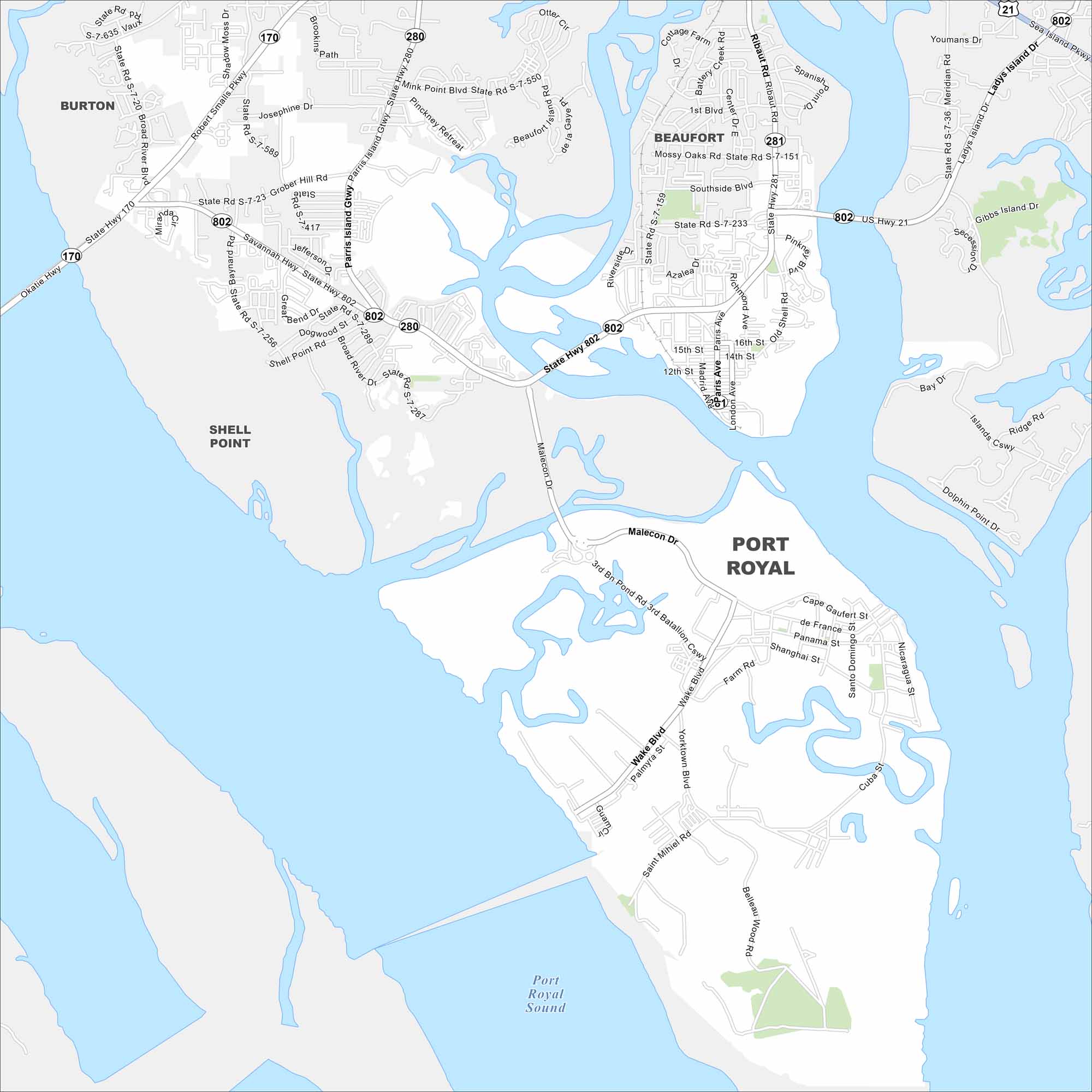
Port Royal spreads along the Beaufort River in the Lowcountry. Our map displays its streets near the waterfront and historic district. The town is known for marsh views and its close connection to nearby Parris Island.
Map Information
On the Map
Interstates/Highways: US Hwy 21, State Rte 170, State Rte 280, State Rte 281, State Rte 802 Major Roads: Parris Island Gtwy, Robert Smalls Pkwy, Ribaut Rd, Savannah Hwy, Broad River Dr, Malecon Dr, Wake Blvd, Paris Ave, Madrid Ave, Richmond Ave, Southside Blvd, Grober Hill Rd, Shell Point Rd, Okatie Hwy, Meridian Rd, Ladys Island Dr, Sea Island Pkwy, Islands Cswy, Dolphin Point Dr, Yorktown Blvd Lakes and Reservoirs: Port Royal Sound Nearby Communities: Burton, Shell Point, BeaufortSouth Carolina State Maps
Explore maps across the Palmetto State.


City Maps of South Carolina
Find our maps of Charleston and South Carolina cities here


