Map of Zion, Illinois
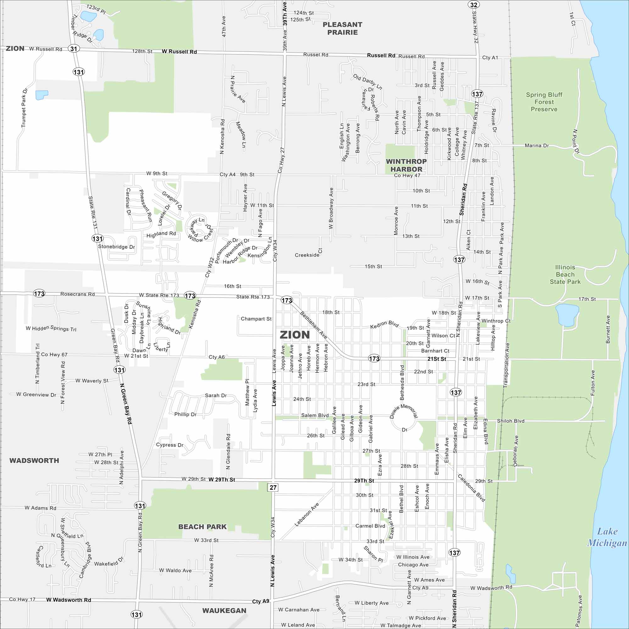
Looking for a map of Zion? This Lake Michigan community has green parks, a fine downtown grid, and lakefront access. Illinois Beach State Park occupies the east side along the lake.
Illinois State Maps
Get to know Illinois with our state maps


Map Information
On the Map
Interstates/Highways: State Rte 173, State Rte 131, State Rte 137 Major Roads: Sheridan Rd, Green Bay Rd, Russell Rd, Wadsworth Rd, 21st St, 29th St, 33rd St, 9th St, Kenosha Rd, Lewis Ave, Broadway Ave, Emmaus Ave, Galilee Ave, Bethesda Blvd, Elizabeth Ave, Gabriel Ave, Gilead Ave, 17th St, 27th St, Shiloh Blvd Airports: Lake Michigan Parks and Preserves: Illinois Beach State Park, Spring Bluff Forest Preserve Nearby Communities: Pleasant Prairie, Winthrop Harbor, Wadsworth, Beach Park, WaukeganIllinois City Maps
Explore Chicago and urban regions of Illinois


