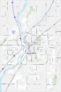
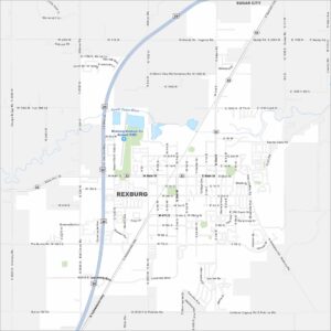
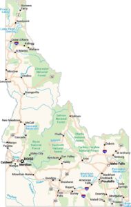
Map of Rexburg, Idaho

Home to BYU–Idaho, Rexburg is a lively college town. You can easily get around its compact downtown and surrounding streets. Winters here are long and snowy. It shapes local life here.


Map Information
On the Map
Interstates/Highways: US Hwy 20, State Rte 33 Major Roads: Main St, Yellowstone Hwy, University Blvd, 2nd E, 4th S, 7th S, 12th W, 2000 W, Salem Rd, Moody Rd, 2000 N, 1000 N, 5th W, Pioneer Rd, Viking St, College Ave, Center St, 1st E, 2nd N, Airport Rd Airports: Rexburg-Madison Co Airport (RXE) Major Rivers: South Teton River Nearby Communities: Sugar CityIdaho City Maps
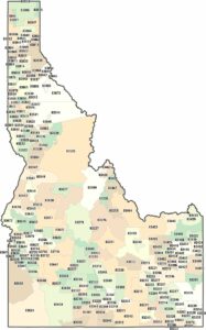
Boise and Idaho city maps right when you need them most