Map of Schaumburg, Illinois
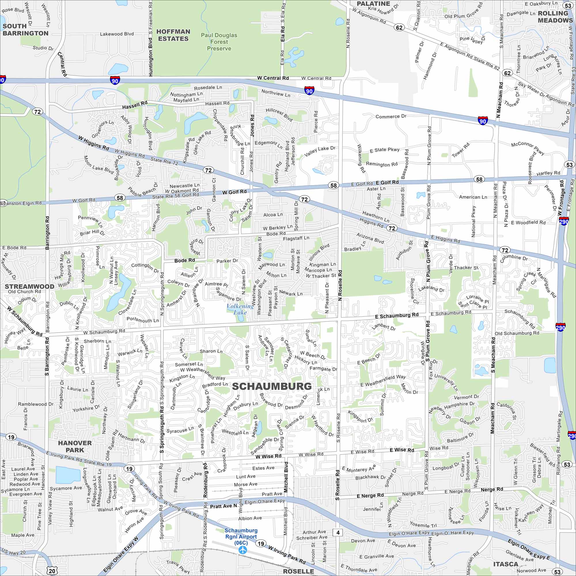
Check out our map of Schaumburg, Illinois. From sprawling business parks and neighborhoods, the layout makes it easy to find your way.
Illinois State Maps
Get to know Illinois with our state maps


Map Information
On the Map
Interstates/Highways: I-90, I-290, State Rte 72, State Rte 58, State Rte 53 Major Roads: Golf Rd, Higgins Rd, Roselle Rd, Central Rd, Meacham Rd, Algonquin Rd, Plum Grove Rd, Woodfield Rd, Wise Rd, Barrington Rd, Schaumburg Rd, Irving Park Rd, Wright Blvd, Martingale Rd, Frontage Rd, Salem Dr, Rodenburg Rd, Mitchell Blvd, Springinsguth Rd, Bode Rd Airports: Schaumburg Rgnl Airport (06C) Lakes and Reservoirs: Volkening Lake Parks and Preserves: Paul Douglas Forest PreserveIllinois City Maps
Explore Chicago and urban regions of Illinois


