Map of Skokie, Illinois
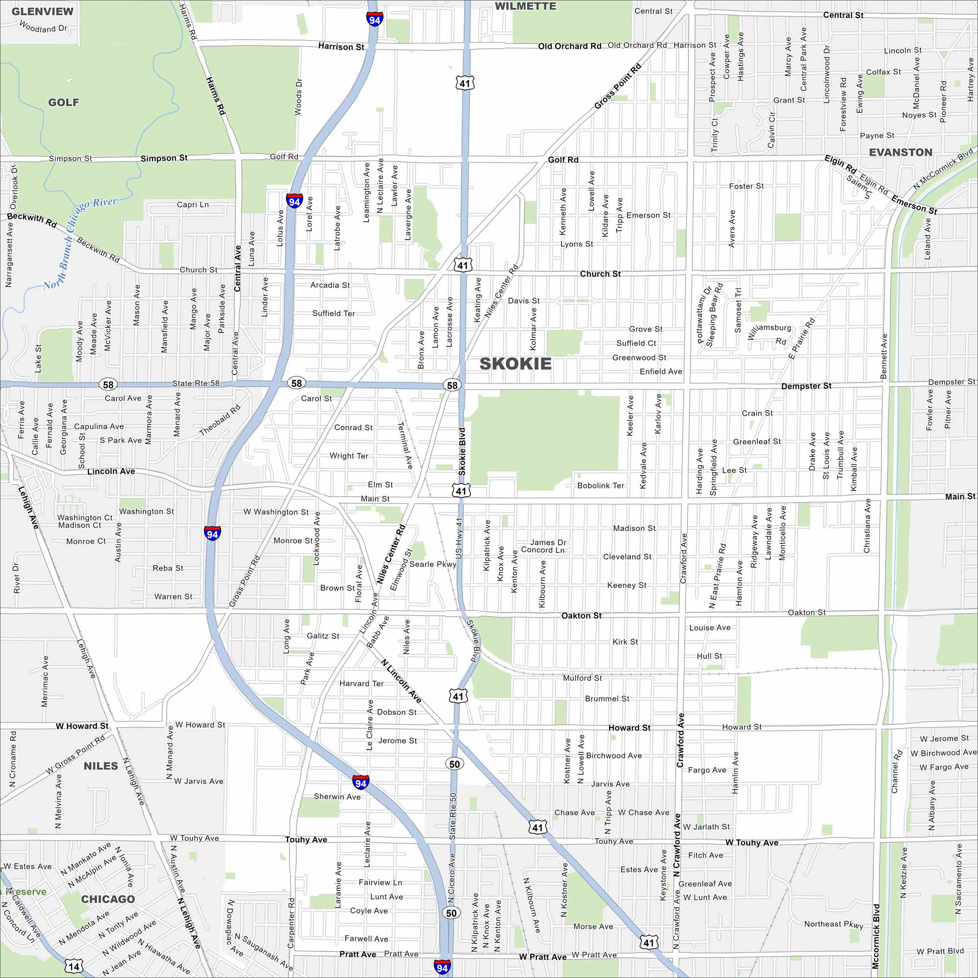
This street map of Skokie helps you get around near Chicago’s North Shore. The town is filled with parks, schools, and cultural centers. I-94 is the main highway to get here.
Illinois State Maps
Get to know Illinois with our state maps


Map Information
On the Map
Interstates/Highways: I-94, US Hwy 41, State Rte 58, State Rte 50 Major Roads: Golf Rd, Dempster St, Touhy Ave, Skokie Blvd, Crawford Ave, Old Orchard Rd, Lincoln Ave, Main St, Oakton St, Howard St, Cicero Ave, Gross Point Rd, Central Ave, McCormick Blvd, Niles Center Rd, Harms Rd, Pratt Ave, Church St, Harrison St, Simpson St Airports: North Branch Chicago River Nearby Communities: Wilmette, Evanston, Glenview, Golf, Niles, ChicagoIllinois City Maps
Explore Chicago and urban regions of Illinois


