Map of St. Charles, Illinois
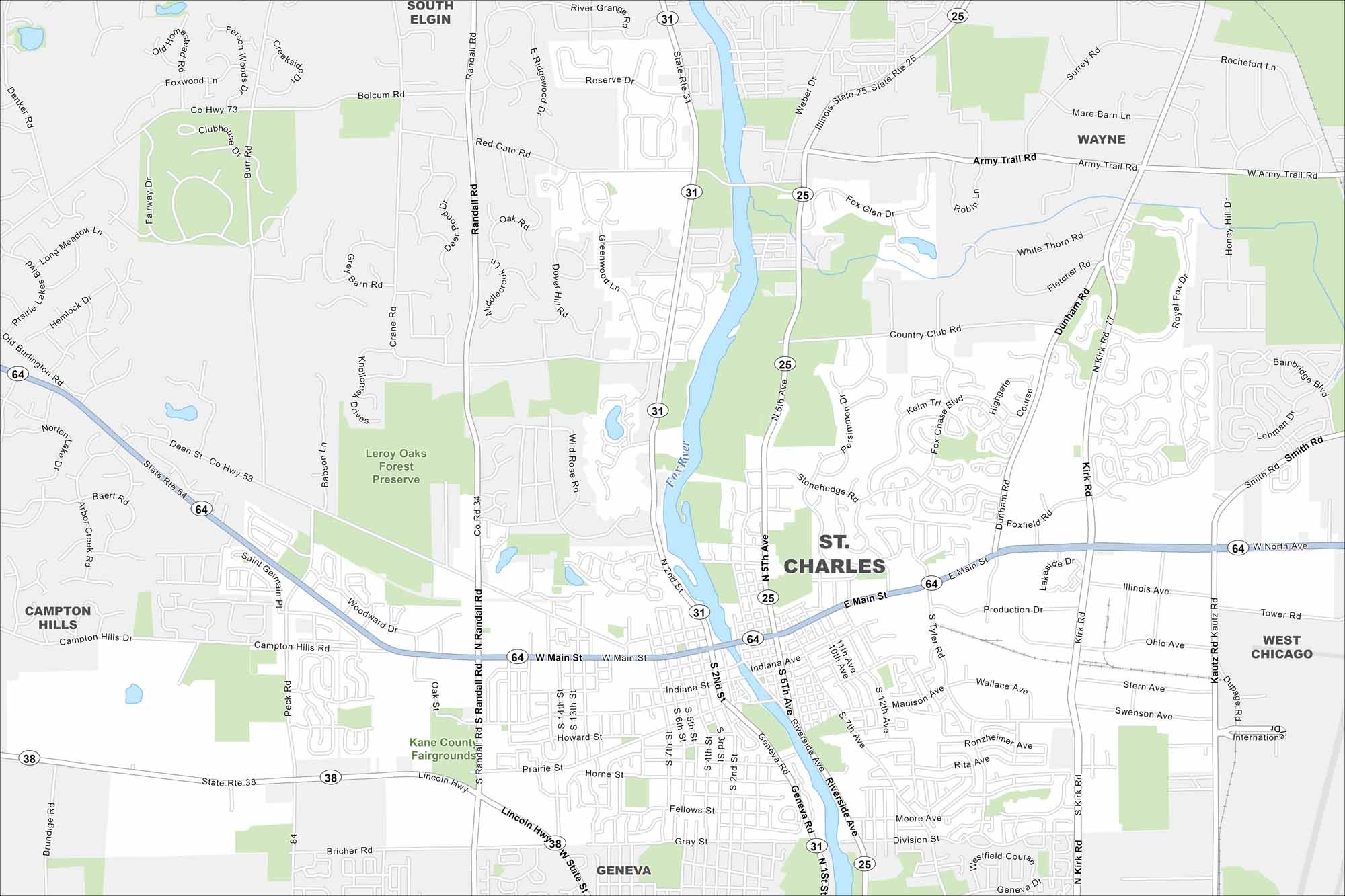
Here’s a map of St. Charles along the Fox River. The town is known for its scenic downtown, theaters, and family-friendly festivals.
Illinois State Maps
Get to know Illinois with our state maps


Map Information
On the Map
Interstates/Highways: State Rte 64, State Rte 38, State Rte 31, State Rte 25 Major Roads: Main St, Randall Rd, North Ave, Kirk Rd, Lincoln Hwy, Army Trail Rd, Dunham Rd, Geneva Rd, Riverside Ave, 2nd St, 5th Ave, Tyler Rd, Peck Rd, Dean St, Bricher Rd, Kautz Rd, Smith Rd, Prairie St, Campton Hills Rd, Red Gate Rd Major Rivers: Fox River Parks and Preserves: Leroy Oaks Forest Preserve Nearby Communities: South Elgin, Wayne, West Chicago, Geneva, Campton HillsIllinois City Maps
Explore Chicago and urban regions of Illinois


