Map of St. George, Utah
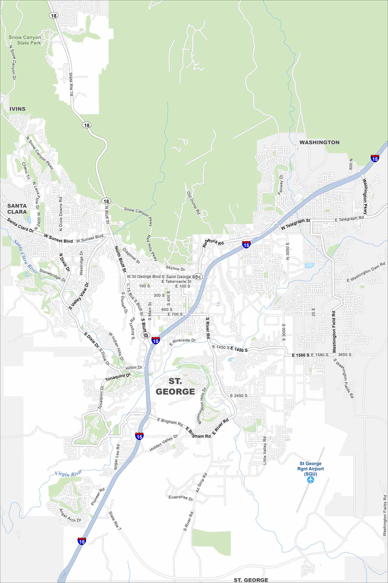
Take a look at our map of St. George, Utah. Red rock landscapes, golf courses, and warm weather make it a popular destination year-round. It’s also close to the nearby Snow Canyon State Park.
Map Information
On the Map
Interstates/Highways: I-15, State Rte 18, State Rte 7 Major Roads: Bluff St, St. George Blvd, Sunset Blvd, River Rd, 700 S, 100 S, 600 S, Riverside Dr, Hilton Dr, Brigham Rd, Hidden Valley Dr, Tonaquint Dr, Washington Pkwy, Telegraph St, Washington Dam Rd, Washington Fields Rd, Dixie Dr, Snow Canyon Pkwy, Skyline Dr, Valley View Dr Airports: St George Rgnl Airport (SGU) Major Rivers: Virgin River, Santa Clara River Parks and Preserves: Snow Canyon State Park Nearby Communities: Washington, Santa Clara, IvinsUtah State Maps
Look through maps of deserts, parks, and cities.


City Maps of Utah
Here is Salt Lake City and Utah’s urban regions.


