Pennsylvania National Parks and Forests Map
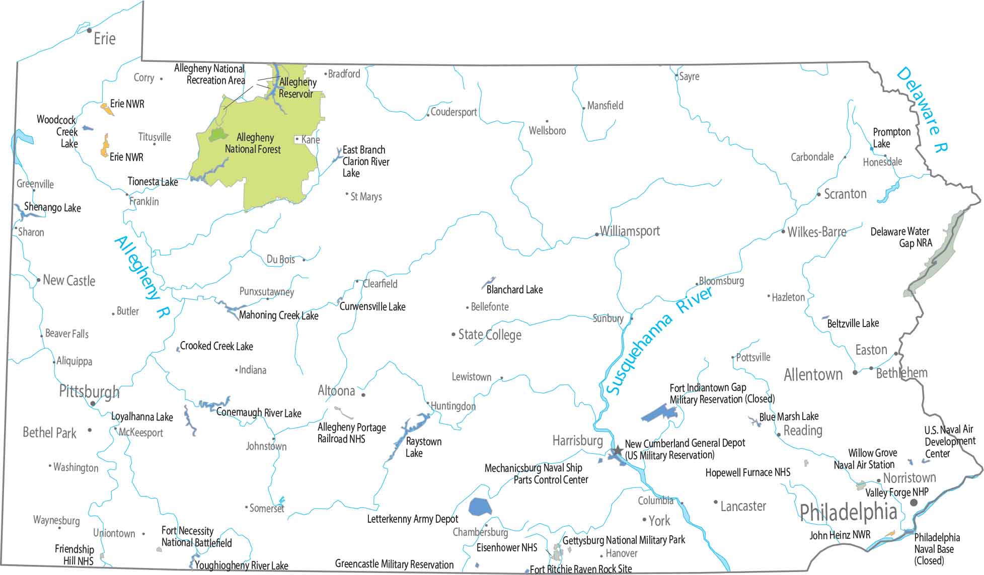
Our map shows federal land concentrated in the northwest. Allegheny National Forest covers a large, continuous stretch of forested terrain. There is no national park, but the forest stands out clearly.
Map Information
On the Map
Parks, Forests and Federal Lands
National Forests (NF): Allegheny National Forest National Wildlife Refuges (NWR): Erie NWR, John Heinz NWR National Historic Sites (NHS): Allegheny Portage Railroad NHS, Eisenhower NHS, Fort Necessity National Battlefield & Friendship Hill NHS, Hopewell Furnace NHS, Valley Forge National Historic Park National Recreational Areas (NRA): Allegheny NRA, Delaware Water Gap NRA Army, Naval and Military: Fort Ritchie Raven Rock Site, Gettysburg National Military Park, Greencastle Military Reservation, Letterkenny Army Depot, Mechanicsburg Naval Ship Parts Control Center, New Cumberland General Depot (US Military Reservation), U.S. Naval Air Development, Willow Grove Naval Air StationParks, Forests and Federal Lands
State Capital: Harrisburg Major Cities: Allentown, Erie, Philadelphia, Pittsburgh, Scranton Cities and Towns: Aliquippa, Altoona, Beaver Falls, Bellefonte, Bethel Park, Bethlehem, Bloomsburg, Bradford, Butler, Carbondale, Chambersburg, Clearfield, Columbia, Corry, Coudersport, Du Bois, Easton, Franklin, Greenville, Hanover, Hazleton, Honesdale, Huntingdon, Indiana, Johnstown, Kane, Lancaster, Lewistown, Mansfield, New Castle, Norristown, Pottsville, Punxsutawney, Reading, Sayre, Somerset, State College, Sunbury, Titusville, Washington, Waynesburg, Wellsboro, Wilkes-Barre, Williamsport, York Lakes and Reservoirs: Allegheny Reservoir, Beltzville Lake, Blanchard Lake, Blue Marsh Lake, Conemaugh River Lake, Crooked Creek Lake, Curwensville Lake, East Branch Clarion River Lake, Lake Erie, Loyalhanna Lake, Mahoning Creek Lake, Prompton Lake, Raystown Lake, Shenango Lake, Tionesta Lake, Woodcock Creek Lake, Youghiogheny River Lake Rivers and Streams: Allegheny River, Delaware River, Susquehanna RiverPennsylvania State Maps
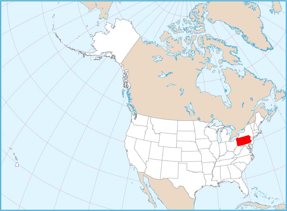
Browse maps throughout the Keystone State.


