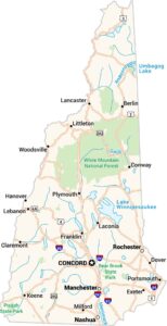
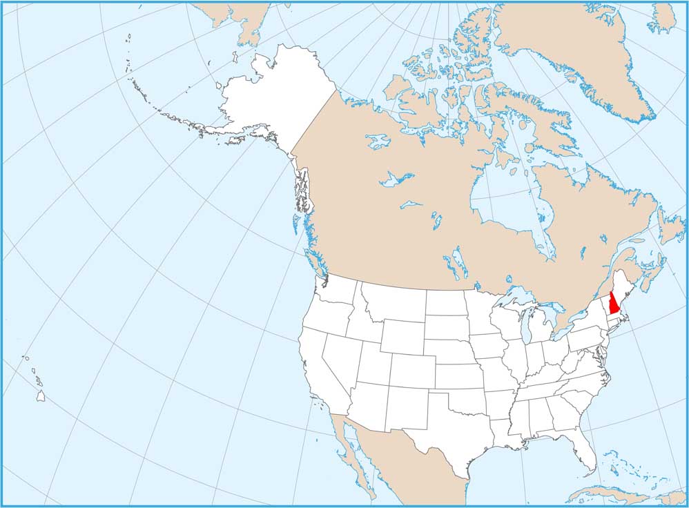
New Hampshire National Parks and Forests Map
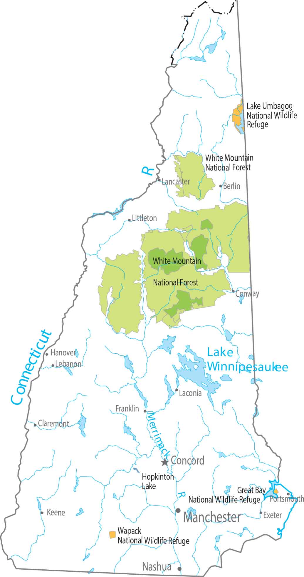
New Hampshire has no national parks. But it does have one of the most significant national forests in the Northeast. The White Mountain National Forest dominates the northern half of the state.
Map Information
On the Map
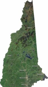
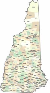
New Hampshire State Maps
Select one of our maps of the Granite State.