RDU Airport Map
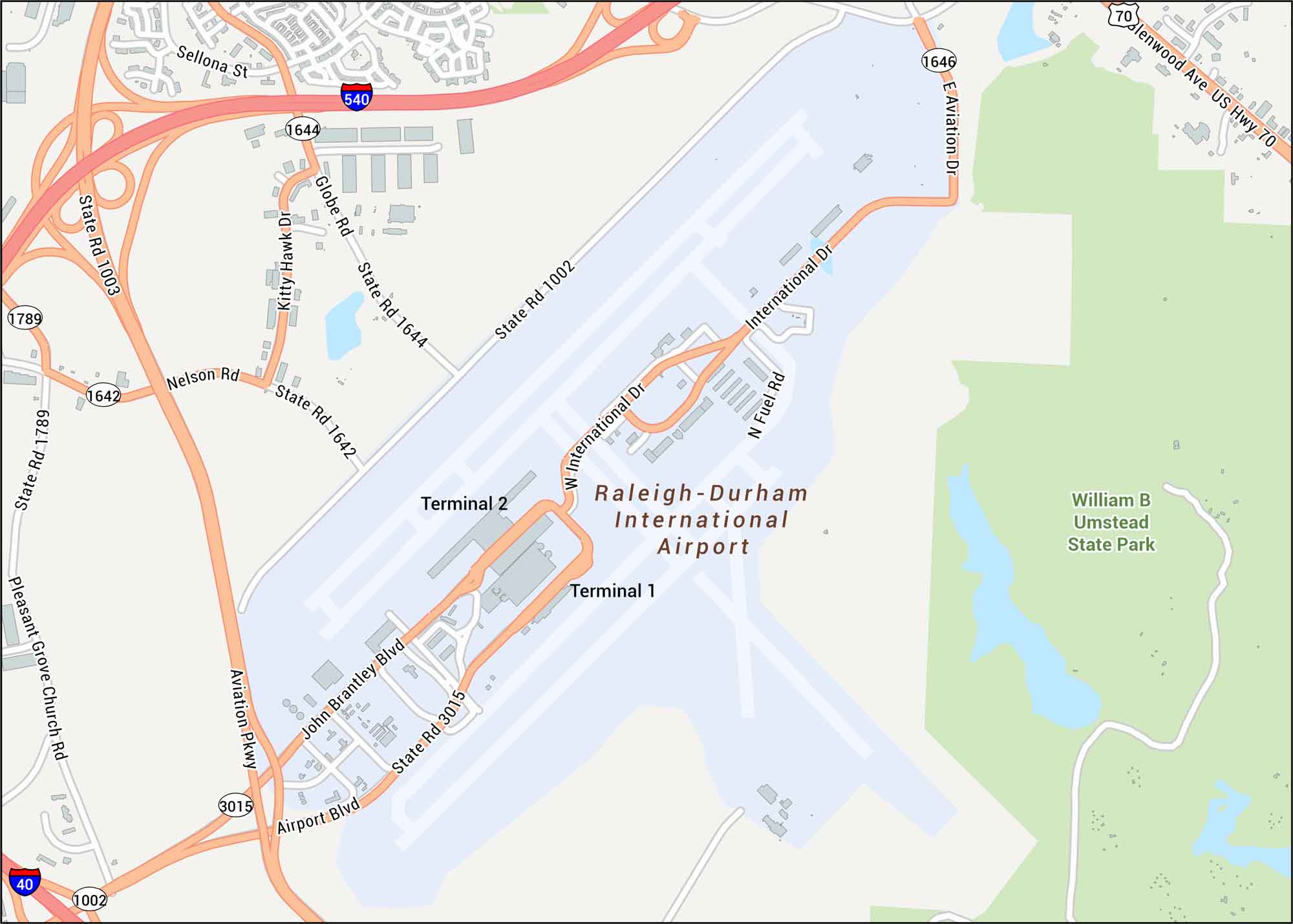
Check out RDU Airport with its two major runways, terminal loops, and the highway connectors that tie Raleigh and Durham together. Our map lays out each route cleanly. The airport sits in North Carolina’s Research Triangle, surrounded by gentle hills.
Map Information
On the Map
Interstates/Highways: I-540, I-40, US Hwy 70 Major Roads: Airport Blvd, Aviation Pkwy, International Dr, John Brantley Blvd, Globe Rd, Nelson Rd, State Rte 1002, State Rte 1642, State Rte 1644, State Rte 1646, State Rte 3015, State Rte 1003, State Rte 1789, Pleasant Grove Church Rd, Glenwood Ave, Kitty Hawk Dr, Fuel Rd, Sellona St Rivers/Lakes: Sycamore Lake Parks/Forests: William B Umstead State Park Other Landmarks: Terminal 1, Terminal 2Tourist Maps in North Carolina
Discover all the prime locations with our tourist maps.
No posts