Pittsburgh Airport Map
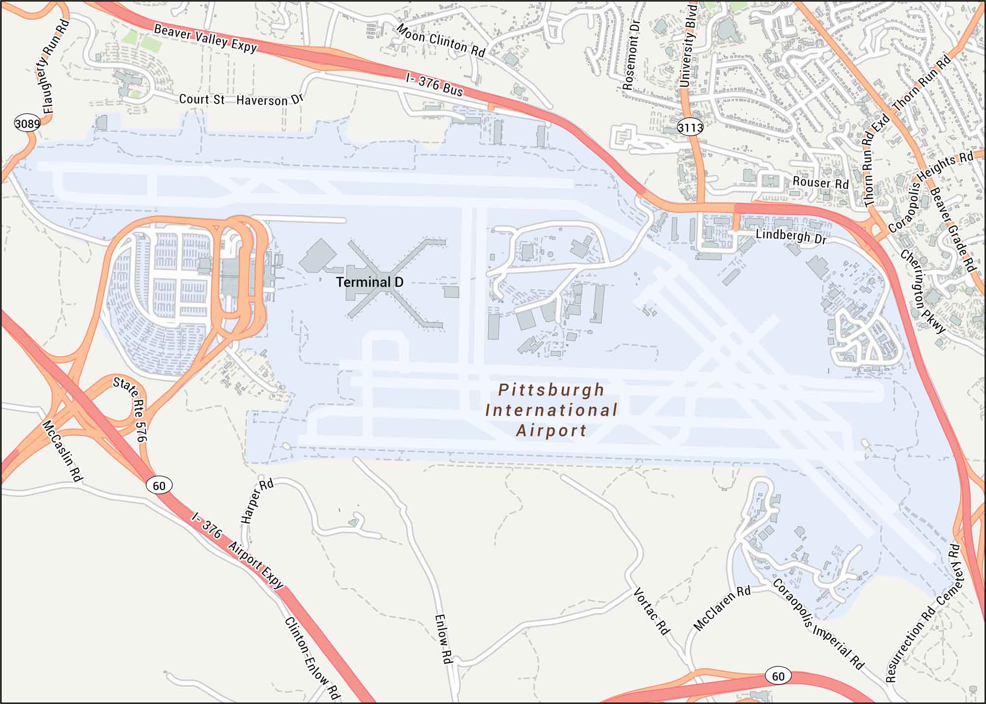
Pittsburgh Airport is shown with its runways and terminals. Our map highlights each primary highways like Beaver Valley Expressway and Airport Parkway.
Map Information
On the Map
Interstates/Highways: I-376 (Airport Expy), Beaver Valley Expy, State Rte 576, State Rte 60, Major Roads: University Blvd, Moon Clinton Rd, Airport Rd, Clinton-Enlow Rd, Enlow Rd, McClaren Rd, Coraopolis Imperial Rd, Resurrection Rd, Cemetery Rd, Vortac Rd, Harper Rd, McCaslin Rd, Flaugherty Run Rd, Court St, Haverson Dr, Rosemont Dr, Rouser Rd Other Landmarks: Pittsburgh International Airport, Terminal DTourist Maps in Pennsylvania
Discover all the prime locations with our tourist maps.