Philadelphia International Airport Map
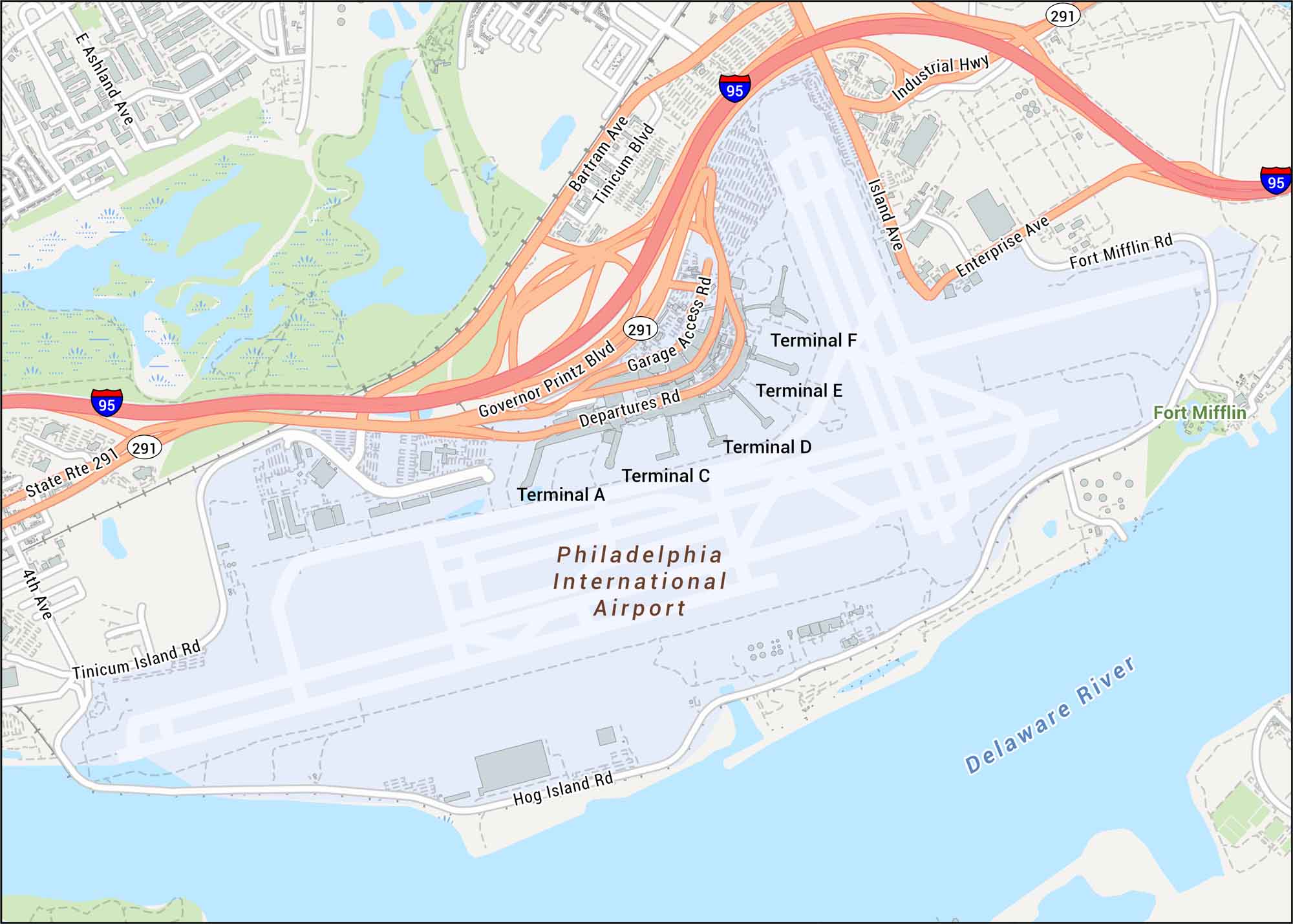
Here’s our map of Philadelphia International Airport showing terminals, runways, and the highways wrapping around the complex. The airport sits along the Delaware River, close to the city’s southwest edge.
Map Information
On the Map
Interstates/Highways: I-95, State Rte 291, Industrial Hwy Major Roads: Governor Printz Blvd, Tinicum Blvd, Bartram Ave, Island Ave, Enterprise Ave, Garage Access Rd, Departures Rd, Tinicum Island Rd, Hog Island Rd, Fort Mifflin Rd, Ashland Ave, 4th Ave Rivers/Lakes: Delaware River Other Landmarks: Terminal A, Terminal C, Terminal D, Terminal E, Terminal F, Fort MifflinTourist Maps in Pennsylvania
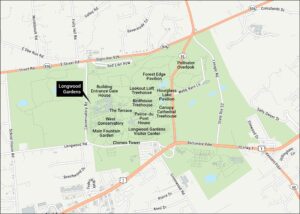
Discover all the prime locations with our tourist maps.