Chicago O’Hare International Airport Map
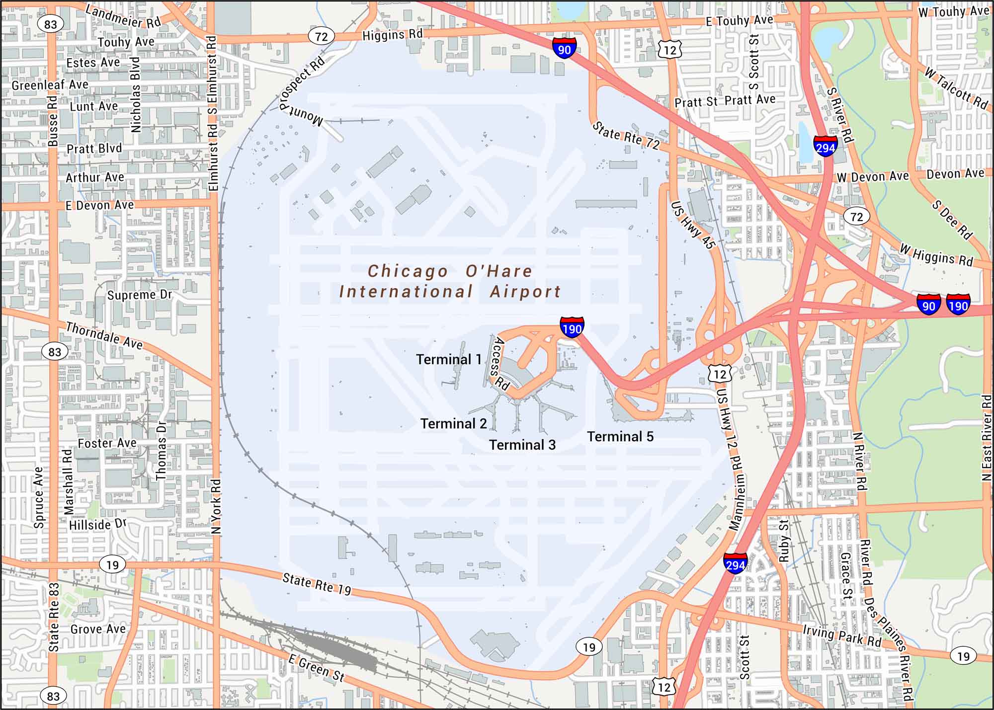
Want to explore O’Hare Airport? We’ve mapped out all the runways, terminals, and highway feeders around the complex. The airport anchors Chicago’s northwest side, known for its massive airfield footprint.
Map Information
On the Map
Interstates/Highways: I-90, I-190, I-294, US Hwy 12, US Hwy 45 Major Roads: Mannheim Rd, Irving Park Rd, York Rd, Elmhurst Rd, Touhy Ave, Higgins Rd, Devon Ave, Thorndale Ave, Landmeier Rd, Pratt Blvd, Arthur Ave, Foster Ave, Lawrence Ave, Montrose Ave, Cullerton St, Ruby St, Scott St, Des Plaines River Rd, River Rd, Talcott Rd Rivers/Lakes: Des Plaines River Other Landmarks: Terminal 1, Terminal 2, Terminal 3, Terminal 5Tourist Maps in Illinois
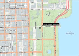
Discover all the prime locations with our tourist maps.