Illinois Physical Map
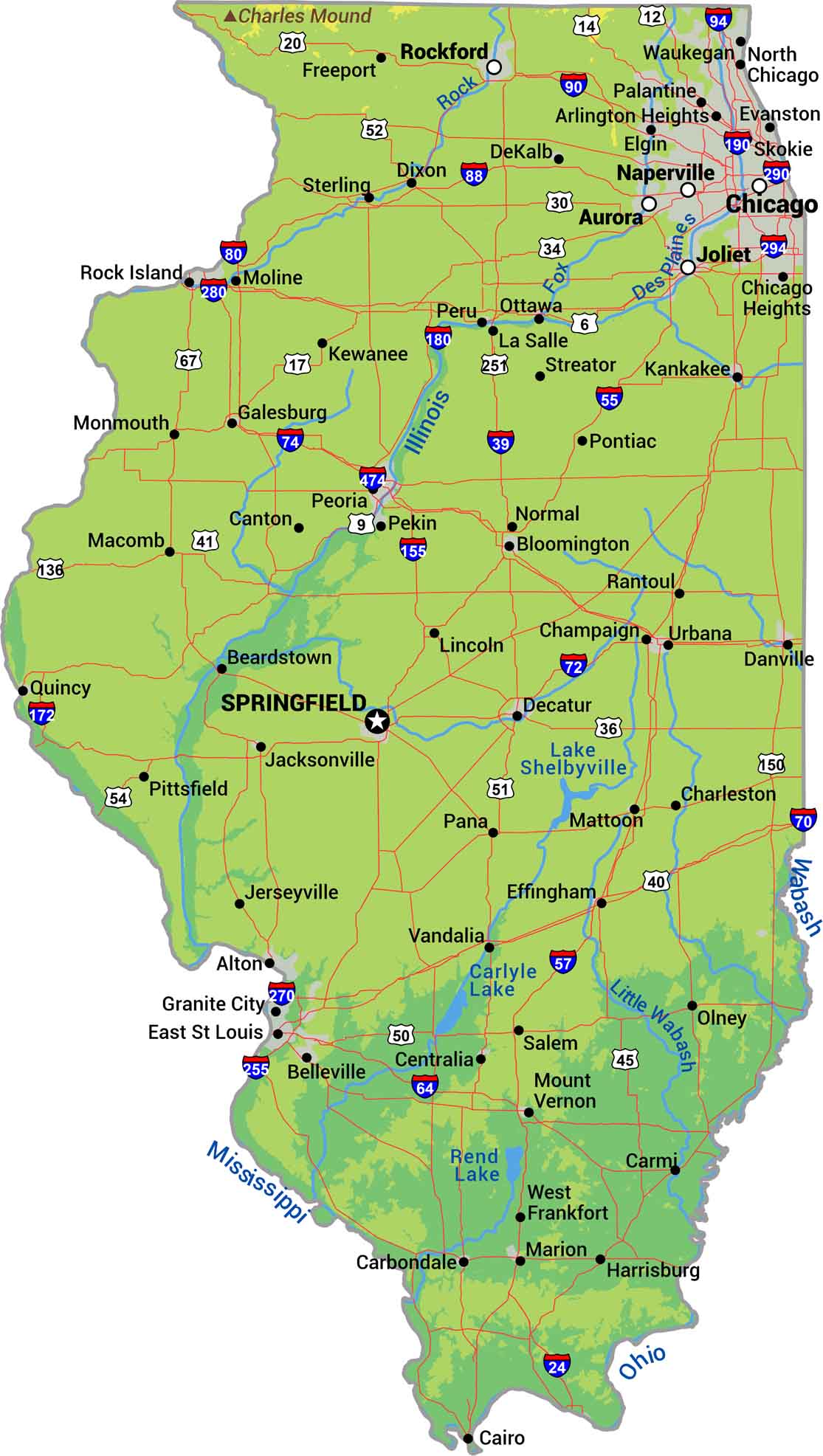
Illinois sits almost entirely on prairie plains. The Mississippi River forms the western border while smaller rivers like the Illinois cut across to farmland. Southern Illinois brings gentle hills and bluffs. Our physical map of Illinois shows a state built for agriculture, with terrain that rarely breaks a sweat.
Map Information
On the Map
Physical State Maps
Select any state map below to view its physical map.


Illinois State Maps
Get to know Illinois with our state maps


