Map of Taylorsville, Utah
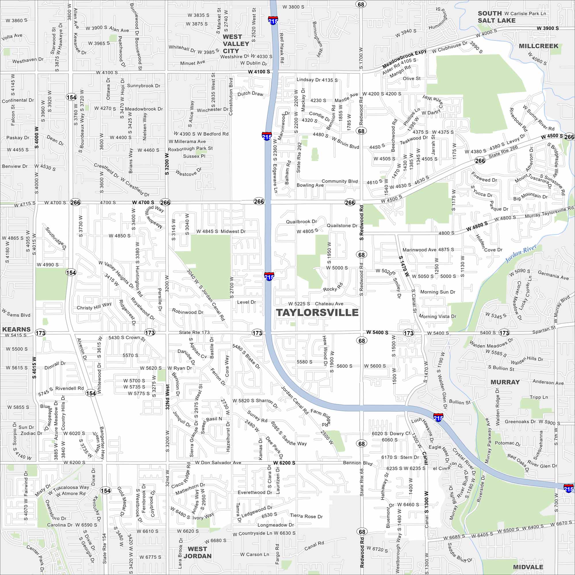
Here’s a simple map of Taylorsville in Salt Lake County. It’s a suburban city with quick mountain access and strong community roots.
Map Information
On the Map
Interstates/Highways: I-215, State Rte 266, State Rte 173, State Rte 68, State Rte 154 Major Roads: Redwood Rd, Bangerter Hwy, Jordan Landing Blvd, Taylorsville Blvd, Brtun Blvd, Meadowbrook Expy, Clubhouse Dr, Bennion Blvd, Atherton Dr, Murray Taylorsville Rd, Valley Heights Dr, Crestfield Dr, Bedford Rd, Millersama Ave, Royalwood Dr, Sunnybrook Dr, Whitehall Dr, Westcov Dr, Quailbrook Dr, Qualistone Dr Major Rivers: Jordan River Nearby Communities: West Valley City, South Salt Lake, Millcreek, Murray, West Jordan, KearnsUtah State Maps
Look through maps of deserts, parks, and cities.


City Maps of Utah
Here is Salt Lake City and Utah’s urban regions.


