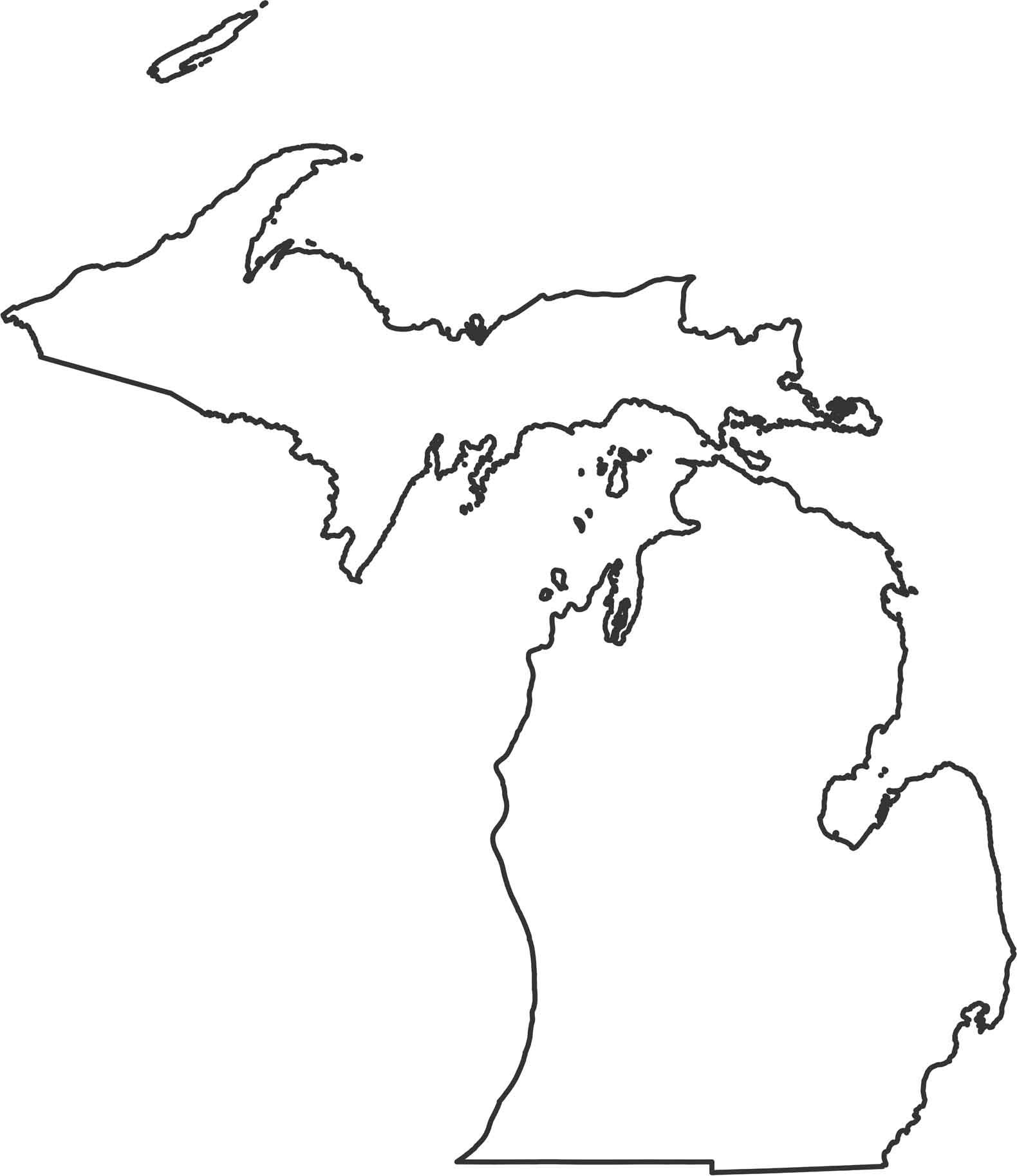
Michigan Outline Map

Our Michigan outline map shows two separate peninsulas completely surrounded by the Great Lakes. The Upper Peninsula sits between Lake Superior and Lake Michigan, while the Lower Peninsula is shaped by Lakes Michigan, Huron, and Erie. Only the southern border with Indiana and Ohio is a straight land boundary.
Map Information
