Massachusetts Outline Map
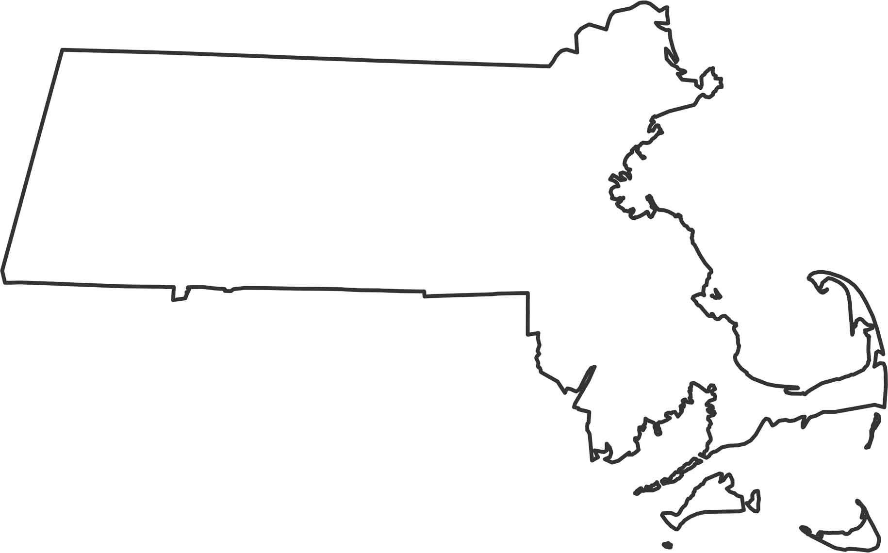
Our outline map of Massachusetts displays the Atlantic coast creating the entire eastern and southern edges with Cape Cod jutting out. The northern border with New Hampshire and Vermont is mostly straight. Rhode Island and Connecticut create irregular borders on the south and west sides.
Map Information
State Outline Maps
Click on a map below to check out outline maps of each state.


Massachusetts State Maps
Here’s our state maps of Massachusetts


