Maryland Outline Map
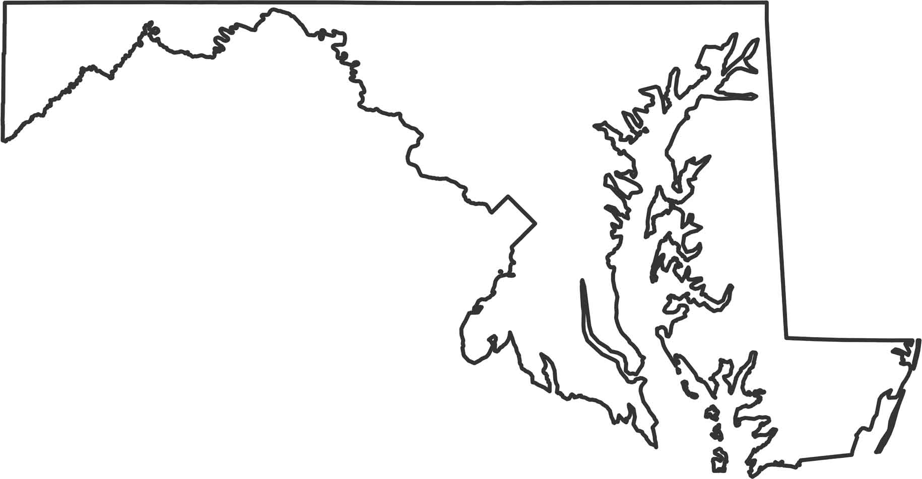
This state has one of the most irregular shapes because the Chesapeake Bay cuts right through the middle. The Potomac River forms the southern and western borders with Virginia and West Virginia. The Eastern Shore sits across the bay as almost a separate chunk of land.
Map Information
State Outline Maps
Click on a map below to check out outline maps of each state.


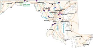
Maryland State Maps
See the geography of Maryland with our state maps