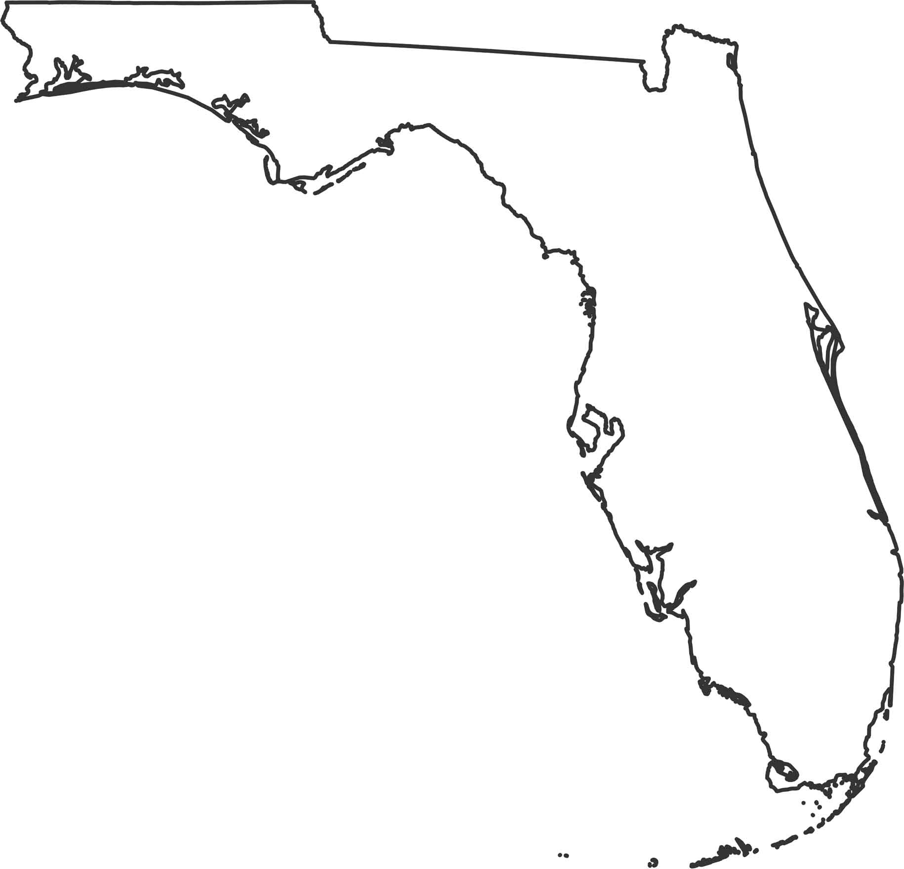
Florida Outline Map

The shape of Florida is almost entirely coastline between the Atlantic and the Gulf Coast. Our Florida outline map shows the panhandle that stretches west with beaches on both sides. Only the northern border with Georgia and Alabama touches land.
Map Information
