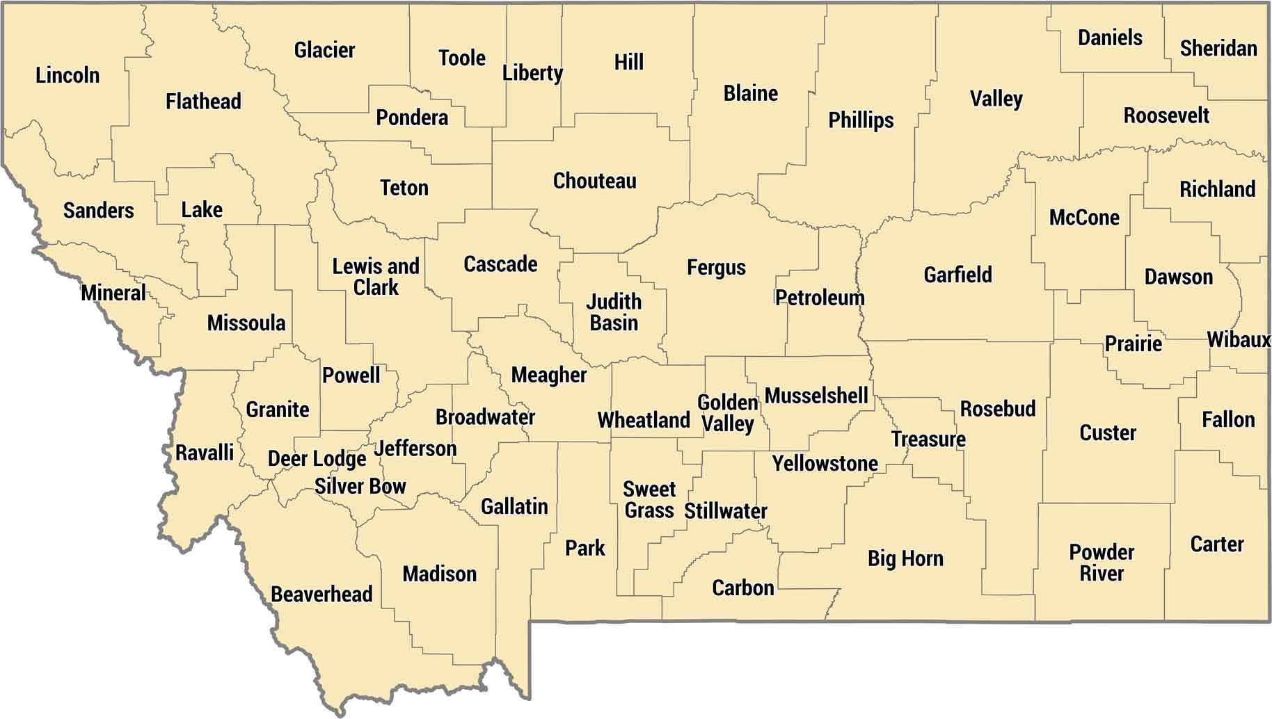
Montana County Map

Montana keeps it manageable with 56 counties across Big Sky Country. Eastern counties are wide-open plains, western counties have the Rockies and ski towns. Their county boundaries are often defined by immense distances and major geographical features, such as the Rocky Mountains.
Map Information
