Map of Tooele, Utah
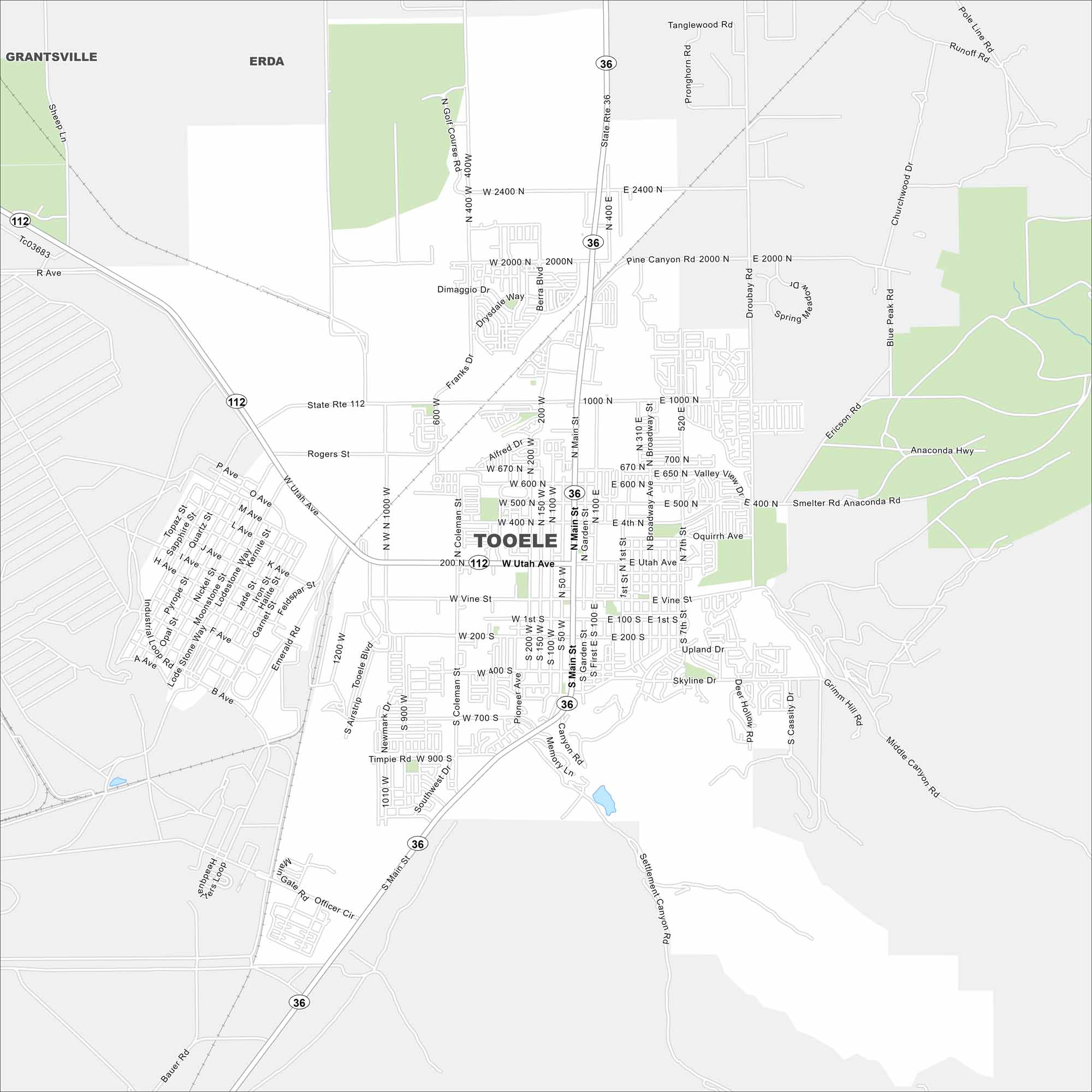
Get around Tooele with our city map. Set against the Oquirrh Mountains, it’s close to the Great Salt Lake and lots of outdoor recreation.
Map Information
On the Map
Interstates/Highways: State Rte 36, State Rte 112 Major Roads: Main St, Utah Ave, Vine St, Tooele Blvd, 1000 N, 2000 N, 400 N, 2400 N, Smelter Rd, Anaconda Hwy, Rogers St, L Ave, Garden St, Broadway Ave, Valley View Dr, Skyline Dr, Droubay Rd, Berra Blvd, Franks Dr, Coleman St Nearby Communities: Erda, GrantsvilleUtah State Maps
Look through maps of deserts, parks, and cities.


City Maps of Utah
Here is Salt Lake City and Utah’s urban regions.


