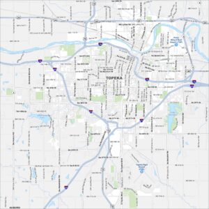
Map of Topeka, Kansas
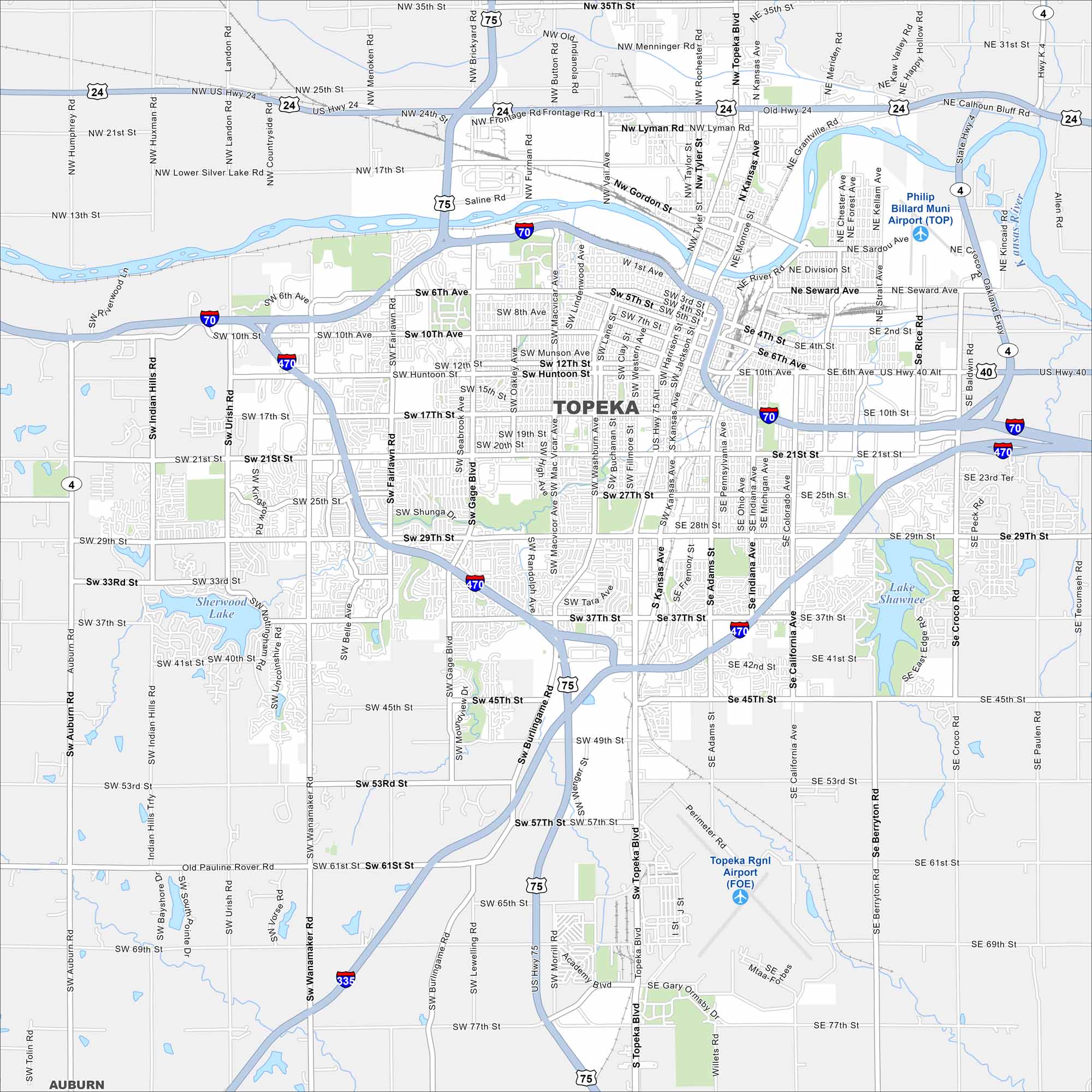
Topeka is the capital of Kansas with history on every corner. See how Topeka is connected through government buildings, parks, and downtown streets. Kansas River runs through it in the north section.
Kansas State Maps
Explore every corner of Kansas with our state maps


Map Information
On the Map
Interstates/Highways: I-70, I-470, I-335, US Hwy 75, US Hwy 24, US Hwy 40 Major Roads: Wanamaker Rd, Topeka Blvd, 21st St, 29th St, 10th St, 6th Ave, Huntoon St, 17th St, 37th St, 45th St, Gage Blvd, Fairlawn Rd, California Ave, Rice Rd, Seward Ave, Lyman Rd, Lower Silver Lake Rd, Urish Rd, Auburn Rd, Mission Rd Airports: Philip Billard Muni Airport (TOP), Topeka Rgnl Airport (FOE) Lakes and Reservoirs: Lake Shawnee, Sherwood Lake Major Rivers: Kansas River Nearby Communities: AuburnCity Maps of Kansas
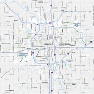
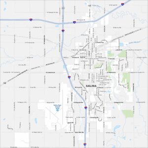
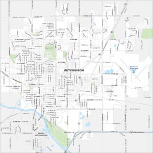
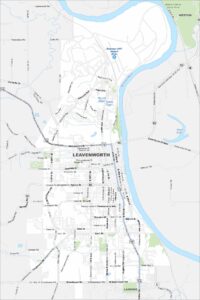
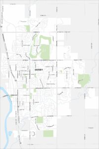
See our maps of Wichita and other urban centers