Downtown Detroit Map
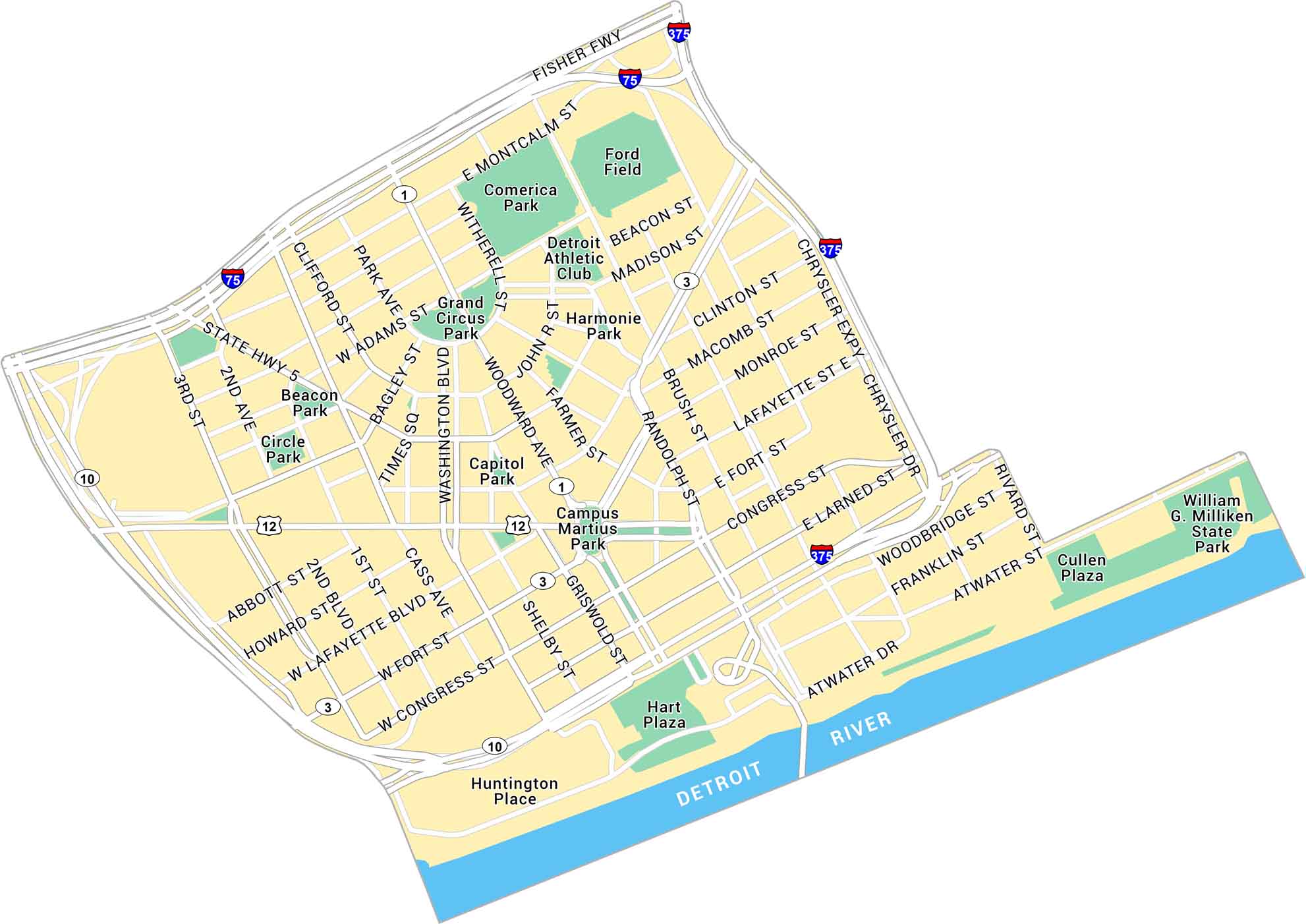
Our map of Downtown Detroit shows the streets along the river and around Campus Martius Park. With the Detroit River forming the southern edge, it includes city parks, key routes, and freeways.
Map Information
On the Map
Interstates/Highways: I-75, I-375, US Hwy 12, US Hwy 10, State Hwy 5, State Rte 1, State Rte 3 Major Roads: Woodward Ave, Jefferson Ave, Lafayette Blvd, Michigan Ave, Fort St, Congress St, Larned St, Atwater St, Washington Blvd, Cass Ave, Grand River Ave, Madison St, Gratiot Ave, Randolph St, Brush St, Monroe St, Macomb St, Clinton St, Chrysler Expy, Adams St Rivers: Detroit River Parks: William G. Milliken State Park, Hart Plaza, Campus Martius Park, Grand Circus Park, Capitol Park, Beacon Park, Circle Park, Harmonie Park Landmarks: Ford Field, Comerica Park, Huntington Place, Detroit Athletic ClubCity Maps of Michigan
Check out our maps of Detroit and other cities in Michigan


