Downtown Kansas City Map
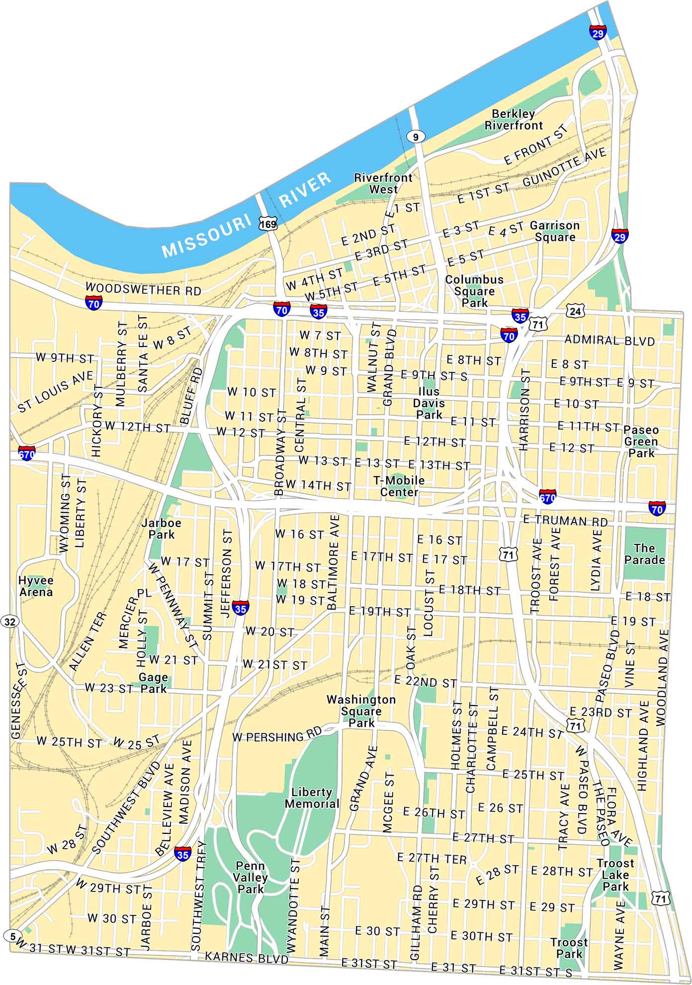
Our map of Downtown Kansas City shows this neighborhood set along the Missouri River. You’ll see nearby parks, major highways, and local routes across the metro.
Map Information
On the Map
Interstates/Highways: I-70, I-670, I-35, I-29, US Hwy 169, US Hwy 71, US Hwy 24, State Rte 9, State Rte 32 Major Roads: Broadway Blvd, Main St, Grand Blvd, Oak St, Troost Ave, Paseo Blvd, Woodland Ave, Pershing Rd, Truman Rd, Admiral Blvd, Independence Ave, Southwest Blvd, 12th St, 31st St, 18th St, 27th St, Front St, St Louis Ave, Beardsley Rd, Wyandotte St Lakes/Rivers: Missouri River Parks: Penn Valley Park, Liberty Memorial, Berkley Riverfront, Washington Square Park, Jarboe Park, Case Park, Columbus Square Park, Garrison Square, Paseo Green Park, The Parade, Troost Lake Park, Gage Park Landmarks: T-Mobile Center, Hyvee ArenaMissouri City Maps
Here are our city maps for Missouri


