Downtown Salt Lake City Map
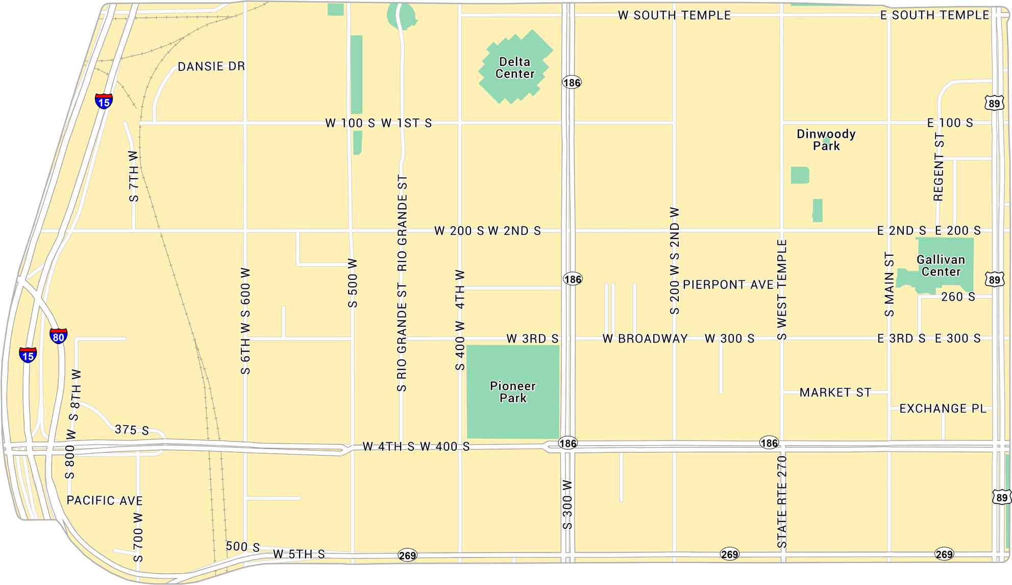
Downtown Salt Lake City is open and easy to navigate. Our map lays out its highways, streets and parks. It’s a clean, bright downtown with mountains on every side.
Map Information
On the Map
Interstates/Highways: I-15, I-80, US Hwy 89, State Rte 186, State Rte 270, State Rte 269 Major Roads: Main St, West Temple, 300 S, 400 S, 200 S, 100 S, South Temple, 300 W, 400 W, 200 W, 500 W, 600 W, 700 W, 800 W, Broadway, Regent St, Rio Grande St, Pierpont Ave, Market St, Exchange Pl Parks: Pioneer Park, Dinwoody Park Landmarks: Delta Center, Gallivan CenterCity Maps of Utah
Here is Salt Lake City and Utah’s urban regions.


