Old Town Scottsdale Map
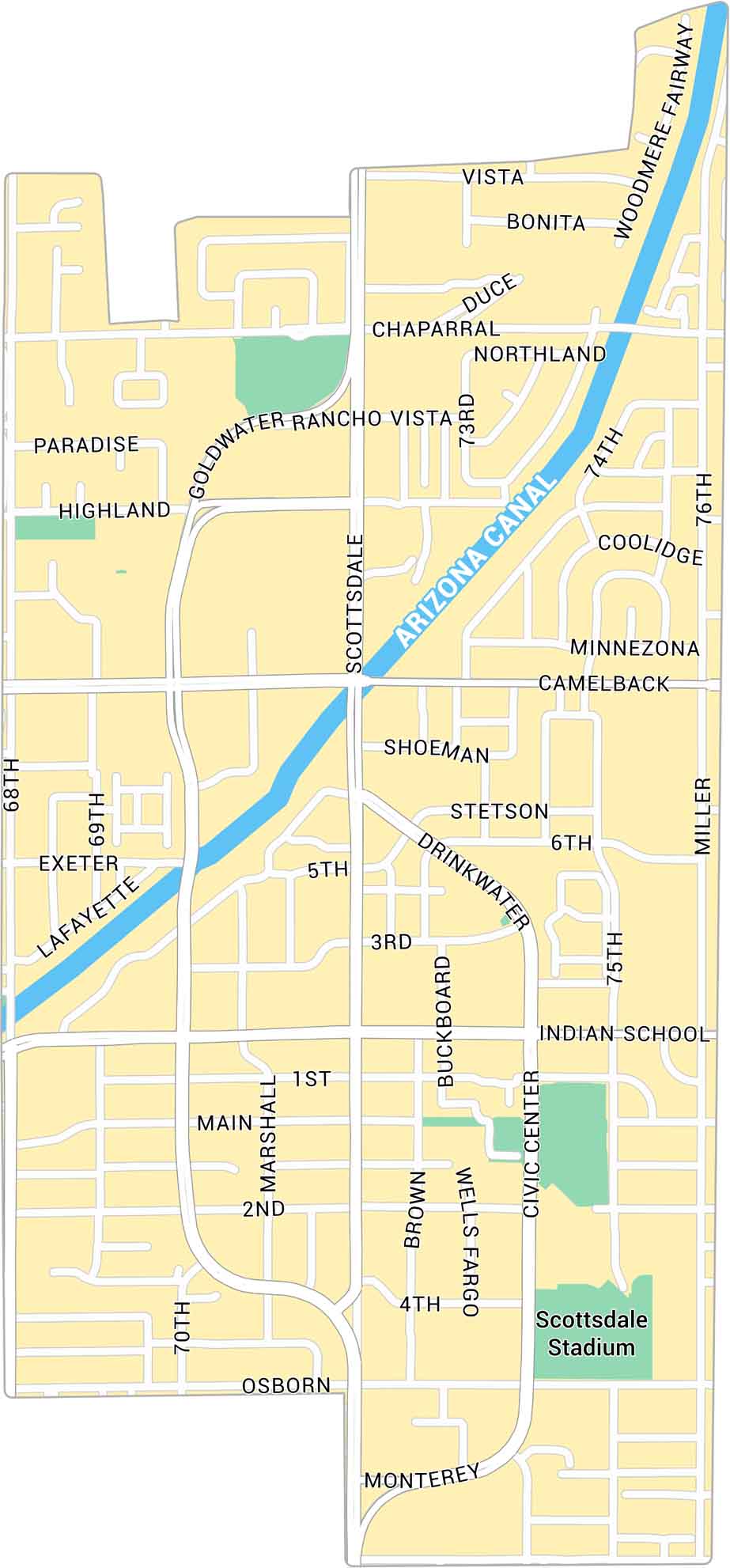
Old Town Scottsdale sits near the heart of the city. It’s close to downtown Phoenix and dissected by the Arizona Canal. Our Old Town Scottsdale map shows its streets, landmarks, and green spaces.
Map Information
On the Map
Major Roads: Scottsdale Rd, Camelback Rd, Indian School Rd, Miller Rd, Drinkwater Blvd, Goldwater Blvd, Osborn Rd, 68th St, Main St, 1st St, 2nd St, 3rd St, 4th St, 70th St, 75th St, 73rd St, Chaparral Rd, Marshall Way, Civic Center Plz, Buckboard Trl Canals/Rivers: Arizona Canal Landmarks: Scottsdale StadiumArizona City Maps
Here’s our full batch of Arizona city maps


