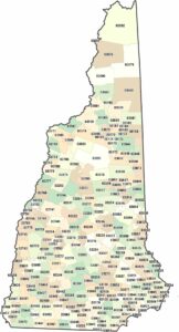
Map of New Hampshire
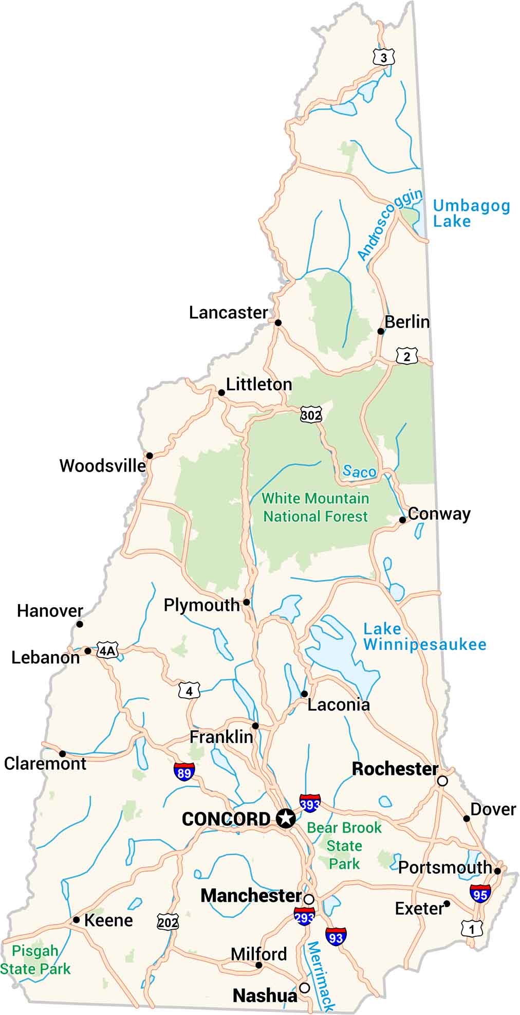
Our map of New Hampshire takes you from rugged mountains to quiet lakes. Small towns cluster along winding roads, while the Seacoast stays full of life. It’s wild country, yet wonderfully grounded.
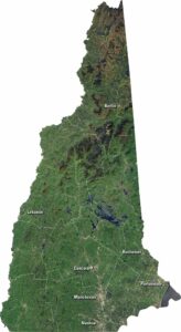
New Hampshire State Maps
Select one of our maps of the Granite State.


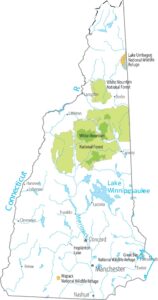


Map Information
On the Map
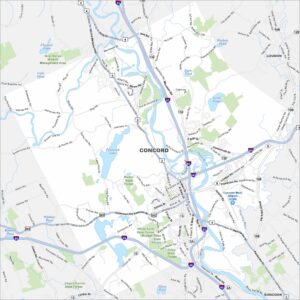
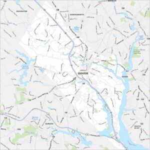
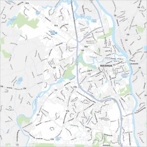
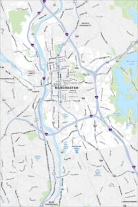
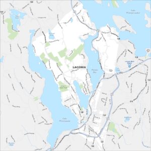
City Maps of New Hampshire
Explore Concord and New Hampshire urban areas