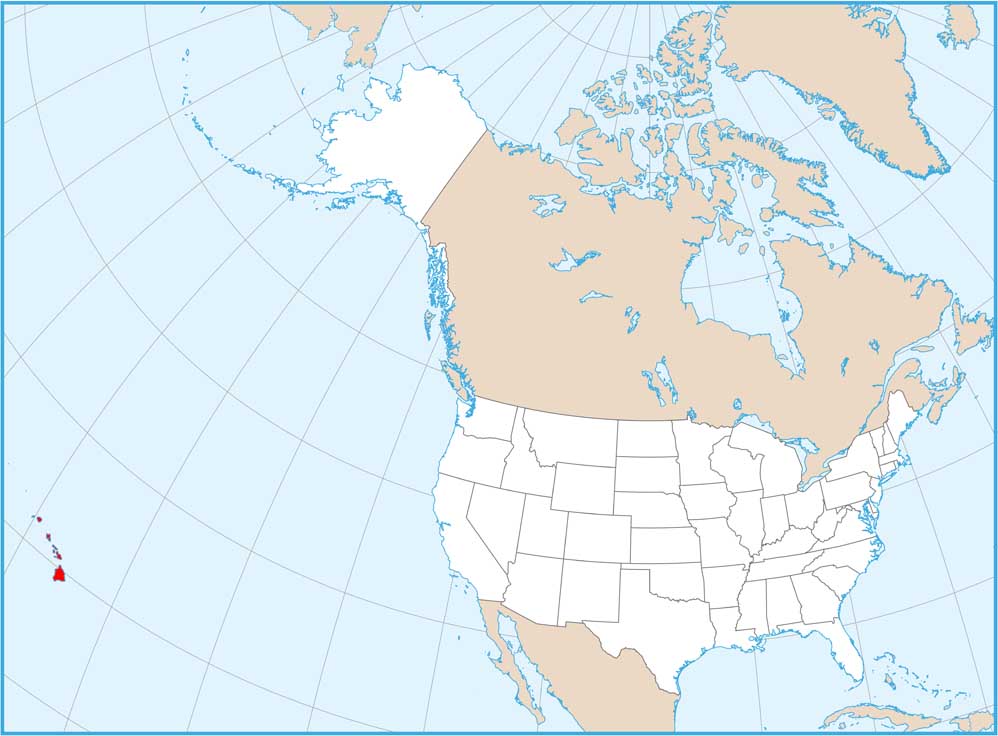
Satellite Map of Hawaii
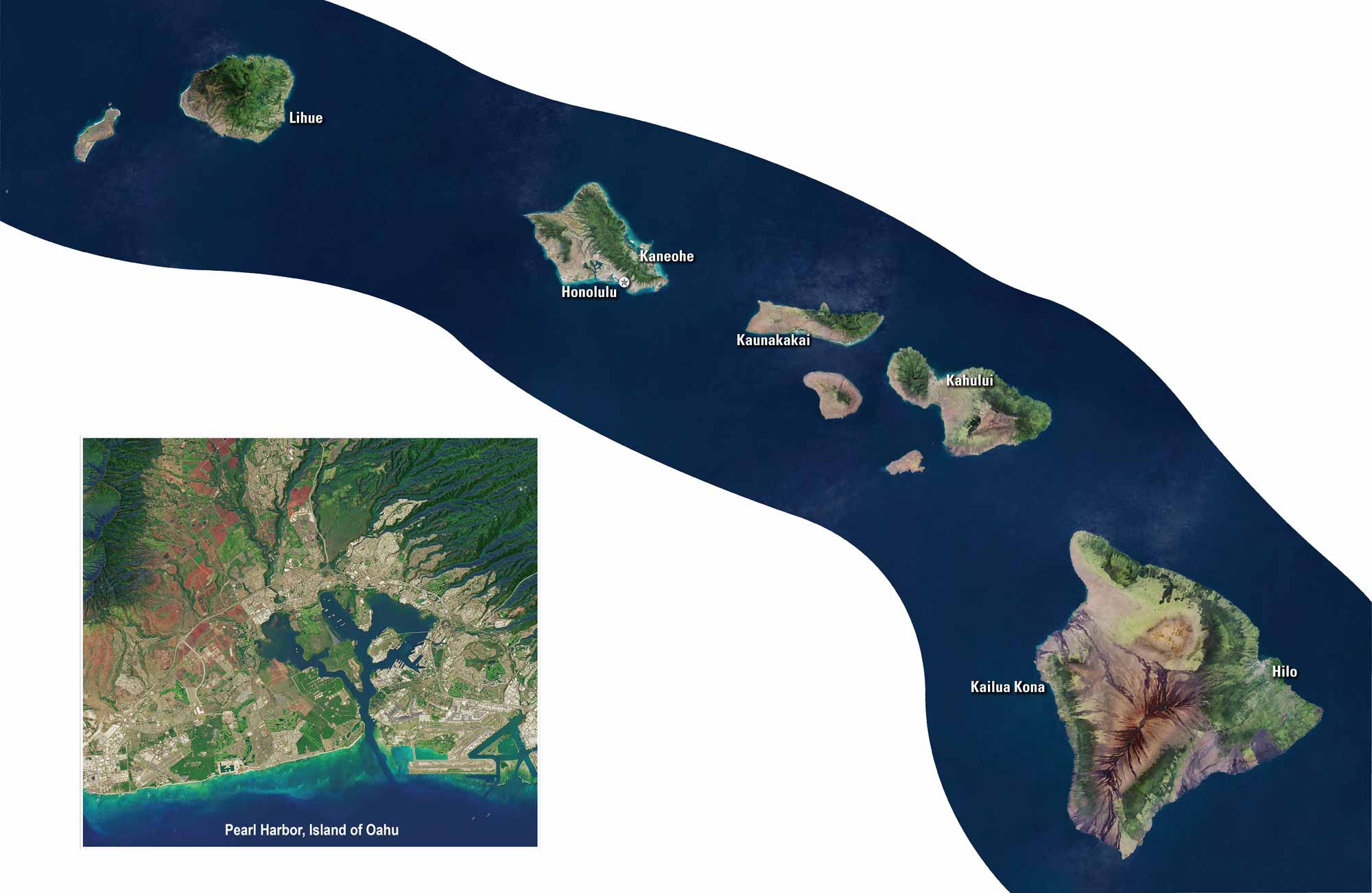
Look closer at Hawaii from above with our satellite map. This string of volcanic peaks rise from the deep blue Pacific waters. Our satellite map shows every island’s unique shape. From O’ahu to the Big Island, Hawaii is covered with rainforests, reefs, and beaches. To say the least, nature still runs the show here.
Map Information
On the Map