Satellite Map of Illinois
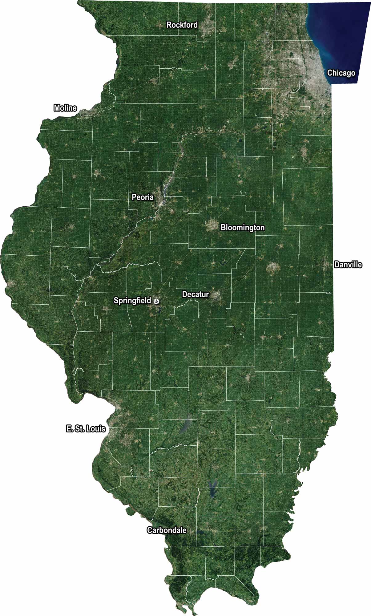
Our Illinois satellite map shows highways cutting through farmland, forests, and wide prairies. You’ll see Lake Michigan to the northeast with Chicago’s skyline sitting along its edge.
Map Information
On the Map
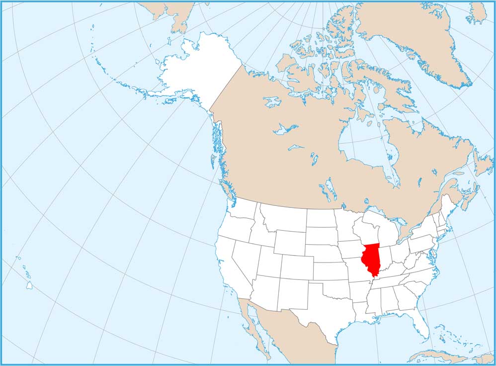
Neighboring State Maps
Find satellite map of neighboring states


