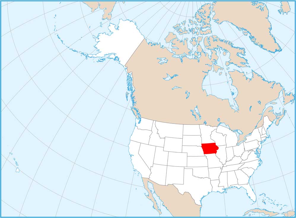
Satellite Map of Iowa
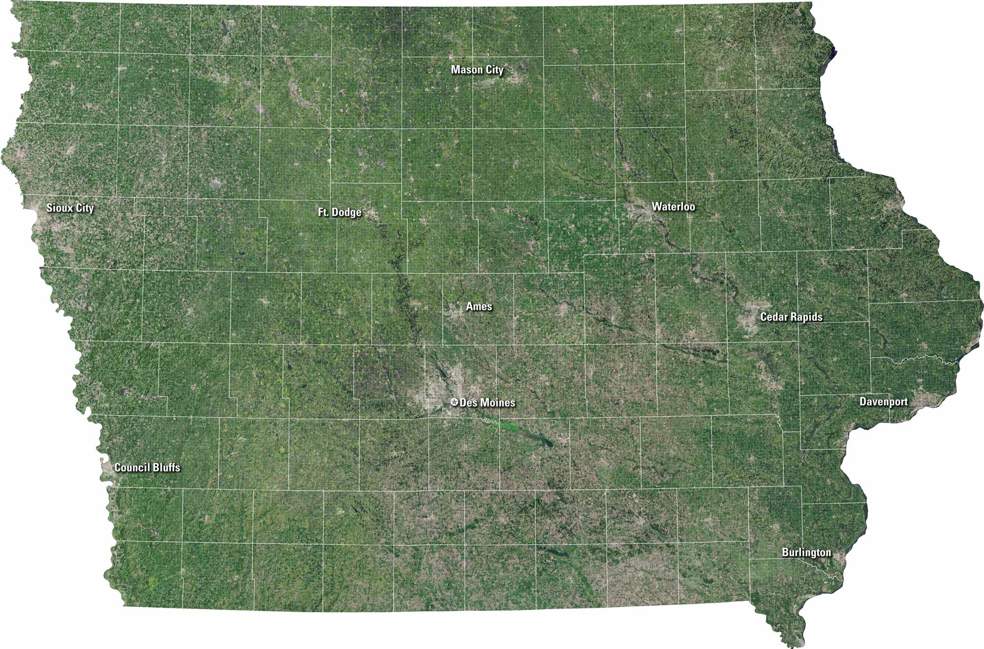
Iowa unfolds in our satellite map with green fields and flowing rivers. It shows gentle hills, scattered lakes, and neat towns. Rural highways connect cities like Des Moines and Ames. It’s the Midwest at its most honest, alive with space.
Map Information
On the Map
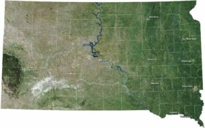
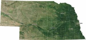
Neighboring State Maps
Find satellite map of neighboring states