Map of Vernon Hills, Illinois
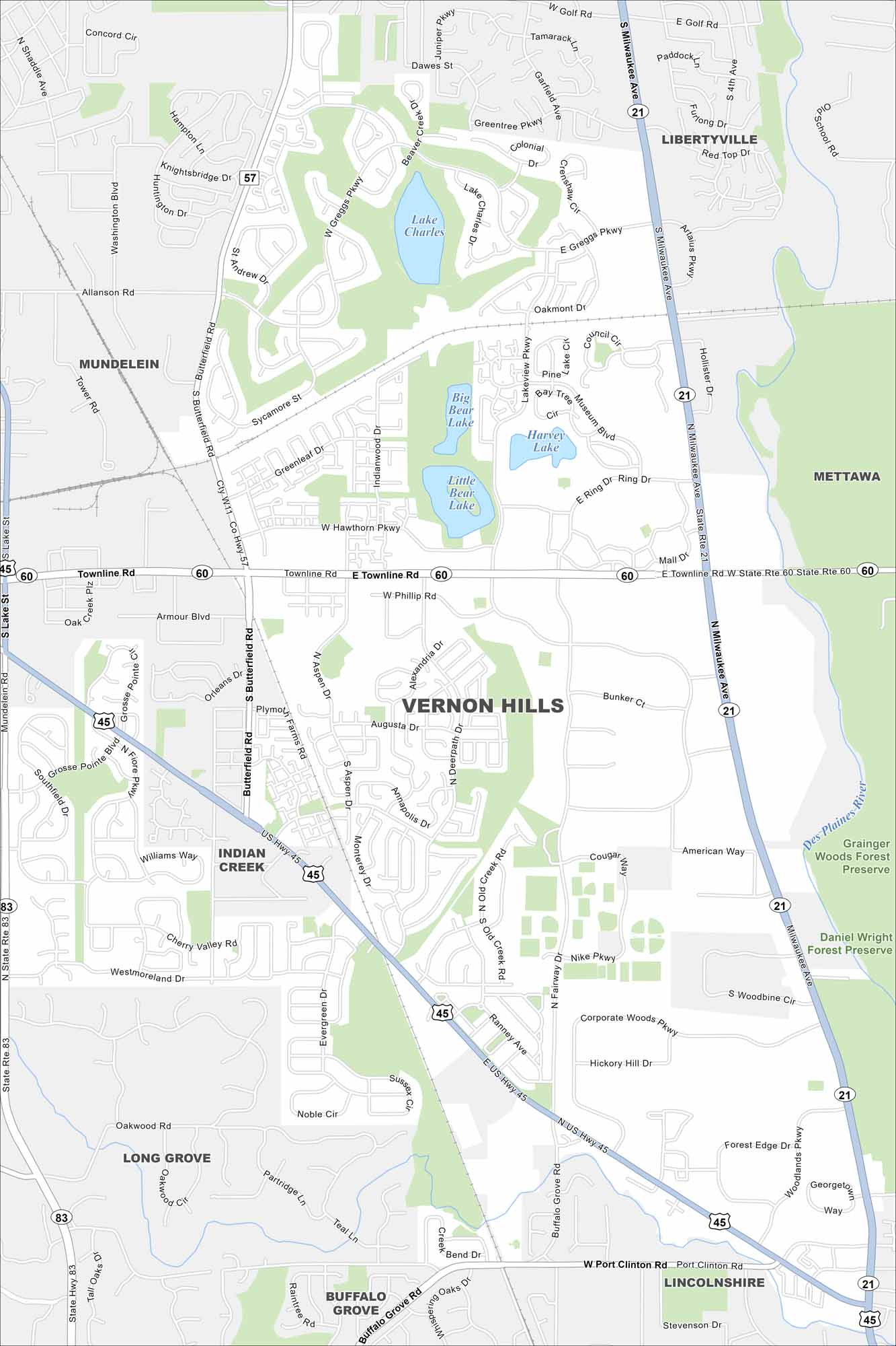
Our Vernon Hills map helps you explore this Chicago suburb. The area is packed with shopping, parks, and growing neighborhoods. US-45 and Milwaukee Avenue are the two major roads here.
Illinois State Maps
Get to know Illinois with our state maps


Map Information
On the Map
Interstates/Highways: US Hwy 45, State Rte 60, State Rte 21, State Rte 83 Major Roads: Townline Rd, Milwaukee Ave, Butterfield Rd, Hawthorn Pkwy, Lakeview Pkwy, Fairway Dr, Greggs Pkwy, Phillip Rd, Deerpath Dr, American Way, Corporate Woods Pkwy, Woodline Cir, Port Clinton Rd, Allanson Rd, Sycamore St, Greenleaf Dr, Indianwood Dr, Aspen Dr, Augusta Dr, Ranney Ave Lakes and Reservoirs: Lake Charles, Big Bear Lake, Little Bear Lake, Harvey Lake Major Rivers: Des Plaines River Parks and Preserves: Grainger Woods Forest Preserve, Daniel Wright Forest Preserve Nearby Communities: Mundelein, Libertyville, Mettawa, Lincolnshire, Buffalo Grove, Long Grove, Indian CreekIllinois City Maps
Explore Chicago and urban regions of Illinois


