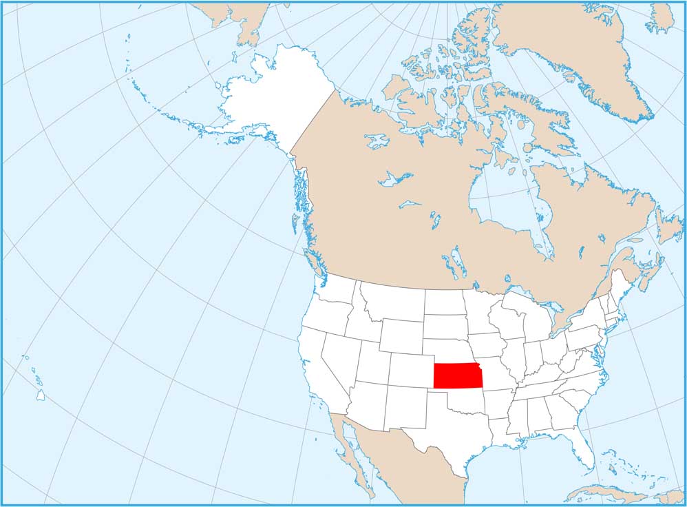
Satellite Map of Kansas
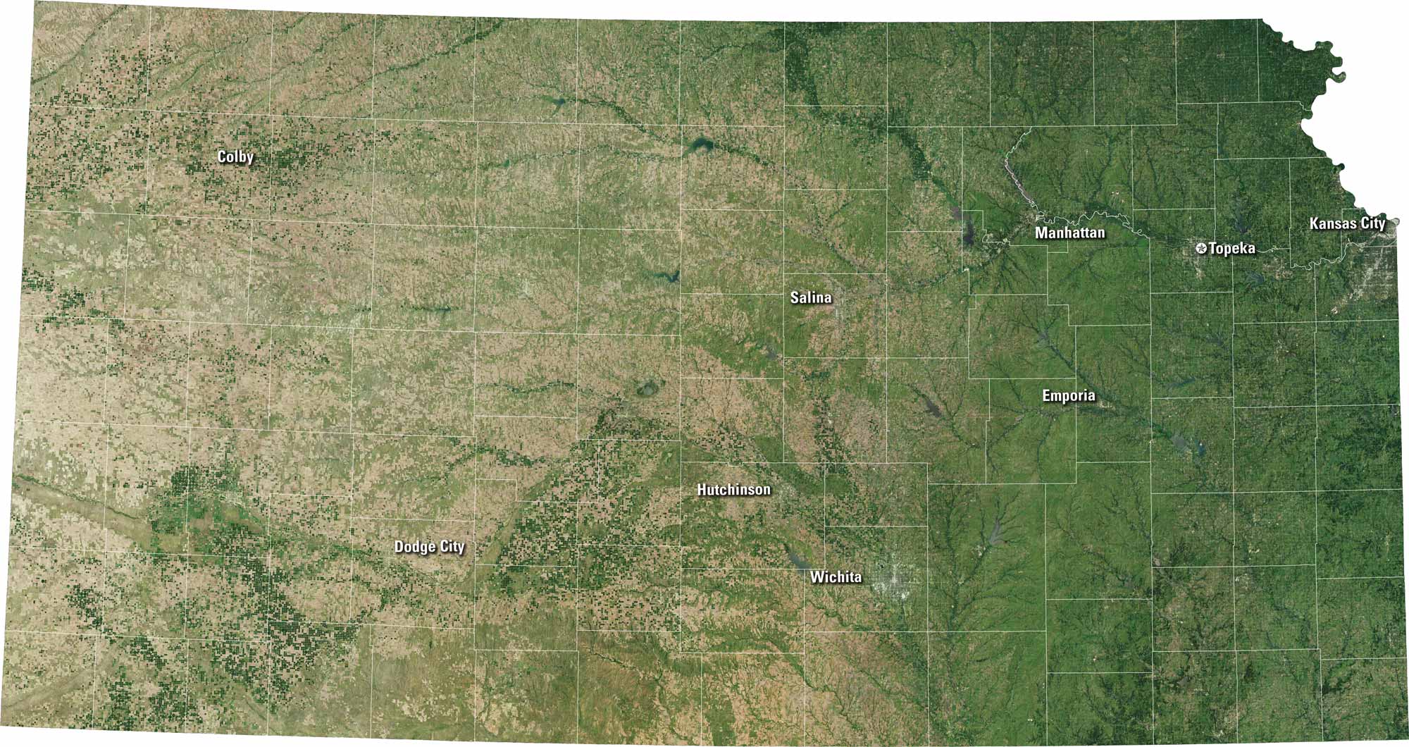
Kansas has a rectangular shape with quiet beauty. From Wichita to Topeka, you’ll spot towns framed by golden fields and long, straight roads. The Arkansas River cuts across the heart of the state, adding a soft curve to all that open land. Our satellite map of Kansas shows vast plains stretching beneath an open sky.
Map Information
On the Map
Neighboring State Maps
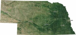
Find satellite map of neighboring states