Home » Maps » Satellite Map of Michigan
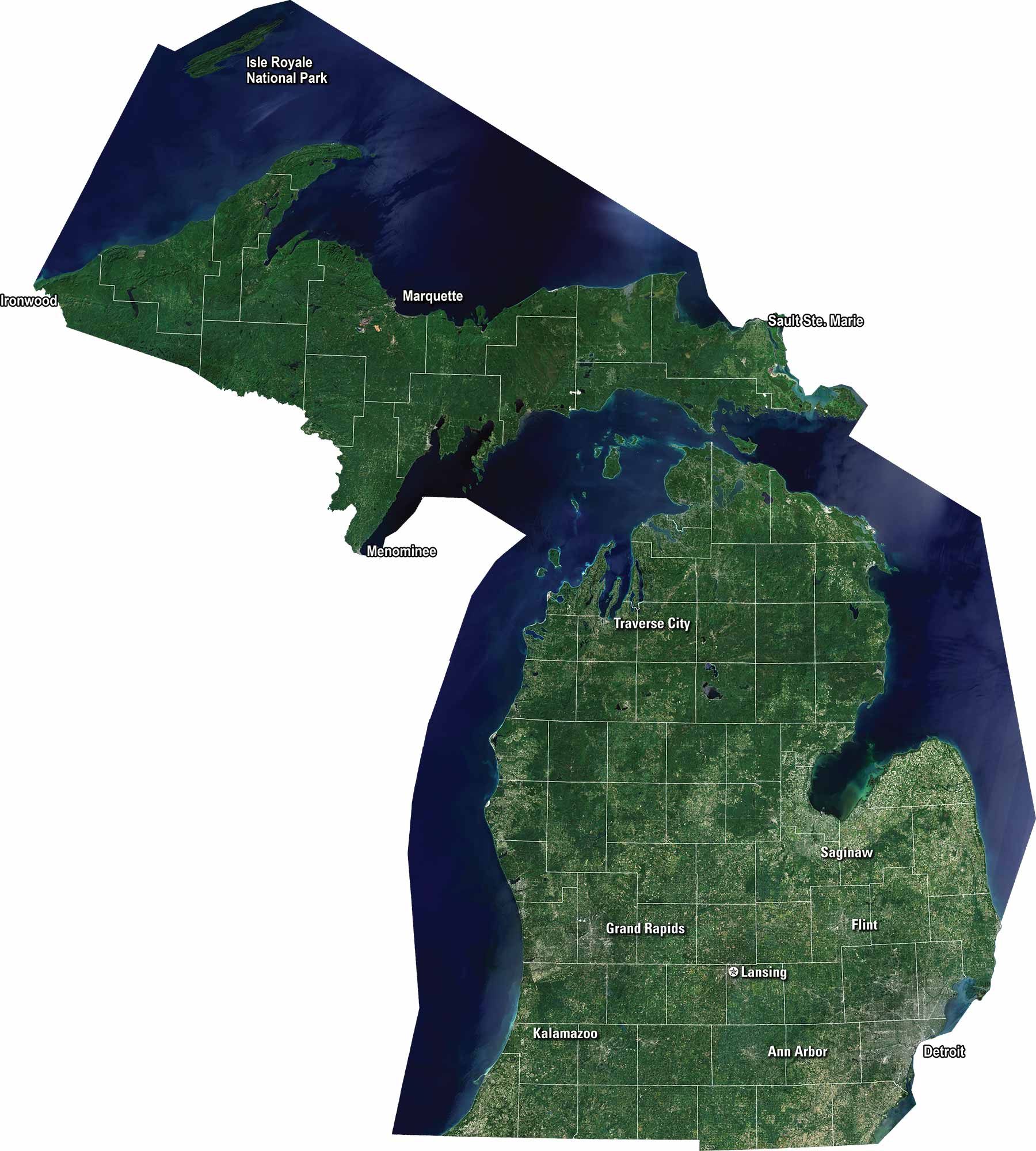
Satellite Map of Michigan

Michigan Satellite Map

Our satellite map of Michigan shows this state that stretches between two Great Lakes. Highways cross the mitten shape in many directions. We display major cities like Detroit, Grand Rapids, and Lansing. It’s a state defined by water and natural beauty.

Map Information

  • State of Michigan
  • Satellite Map of Michigan with Landsat-8 Imagery
  • Free for personal and commercial purpose. Attribution is required. How to attribute?

Leave a Reply

Your email address will not be published. Required fields are marked *