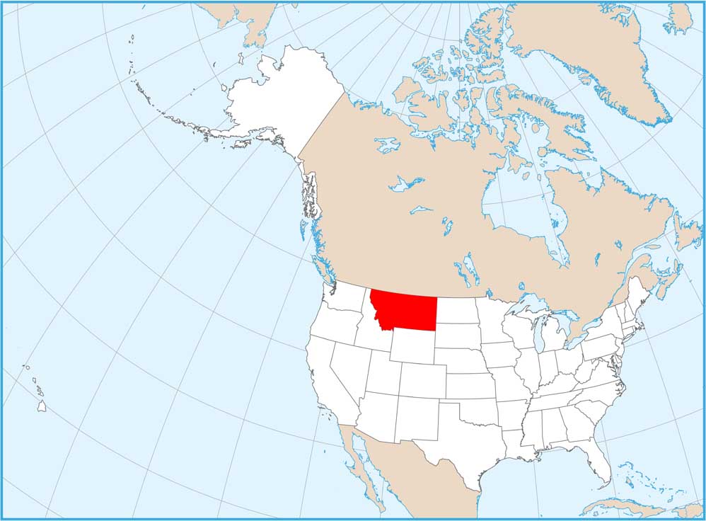
Satellite Map of Montana
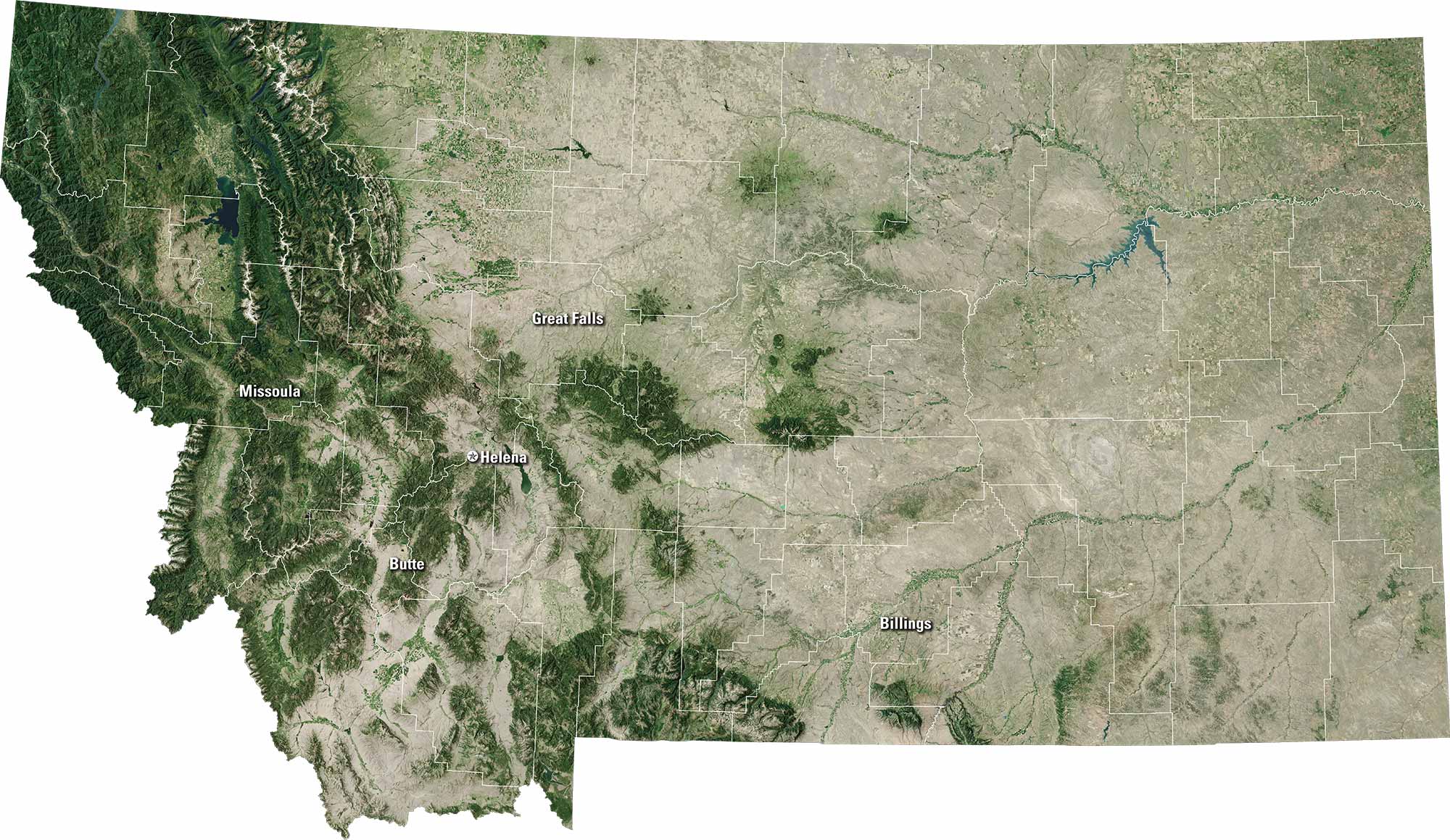
Montana feels big and wide. Our satellite map shows this state of open skies and rugged beauty. You’ll see Billings, Missoula, and Great Falls on the map. The Missouri River winds through much of the state but mountains rise sharply in the west.
Map Information
On the Map
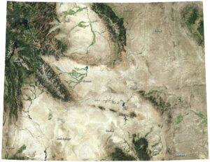
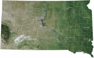
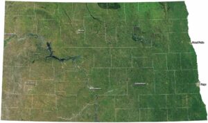
Neighboring State Maps
Find satellite map of neighboring states