Satellite Map of Nebraska
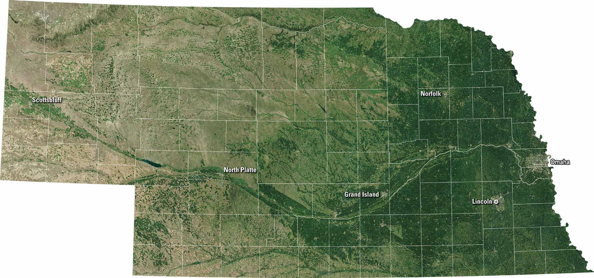
Nebraska spreads out in broad plains and farmland. Our satellite map shows Omaha and Lincoln as main hubs. The Platte River cuts across the state. Smaller towns cover the landscape between fields. But it’s mostly agriculture here.
Map Information
On the Map
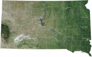
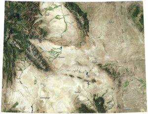
Neighboring State Maps
Find satellite map of neighboring states