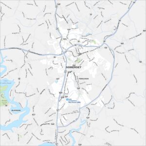
Map of Versailles, Kentucky
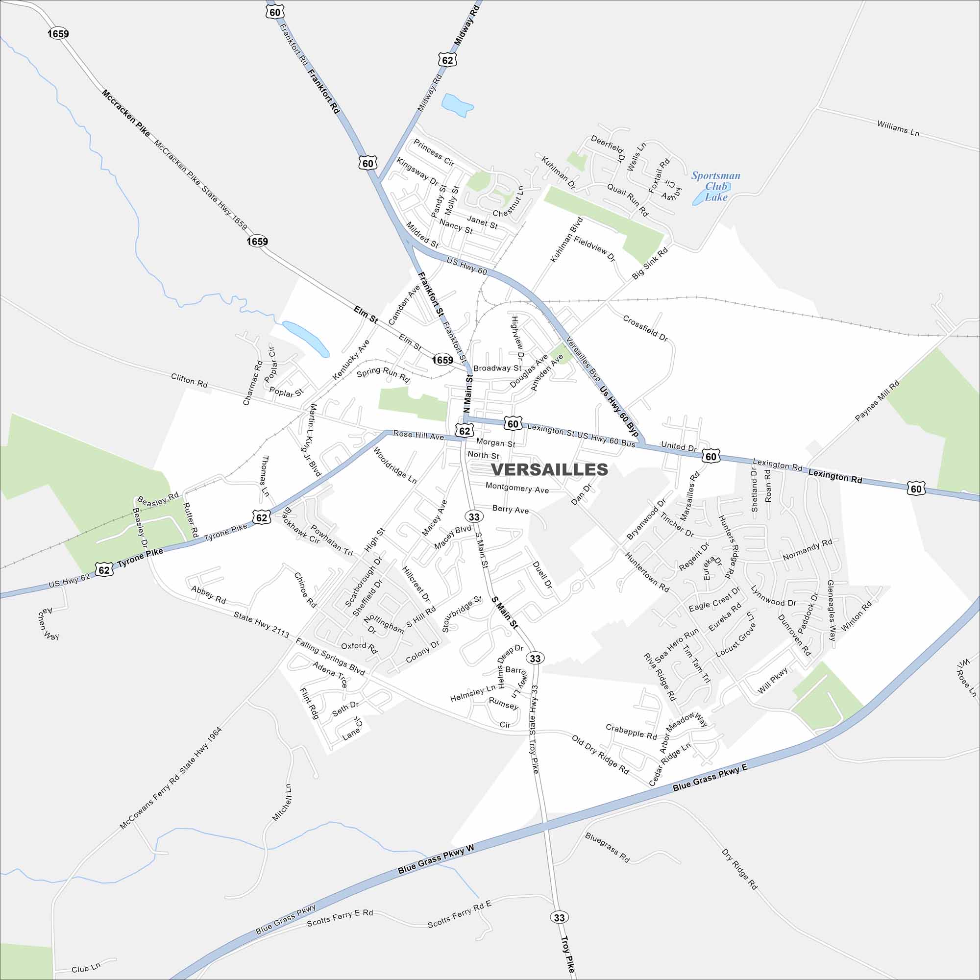
Get around Versailles, deep in Kentucky horse country. Our map highlights rolling farms, major highways, and historic small-town streets.
Kentucky State Maps
Our Kentucky maps reveal the Bluegrass State


Map Information
On the Map
Interstates/Highways: US Hwy 60, US Hwy 62, State Rte 33, State Rte 1659, State Rte 1964, State Rte 2113 Major Roads: Blue Grass Pkwy, Lexington Rd, Frankfort Rd, Versailles Byp, Main St, Broadway St, Midway Rd, Tyrone Pike, Falling Springs Blvd, McCracken Pike, Rose Hill Ave, Morgan St, Berry Ave, High St, Macey Ave, Huntertown Rd, Paddock Dr, Old Dry Ridge Rd, Scotts Ferry Rd, Troy Pike Lakes and Reservoirs: Sportsman Club LakeCity Maps of Kentucky
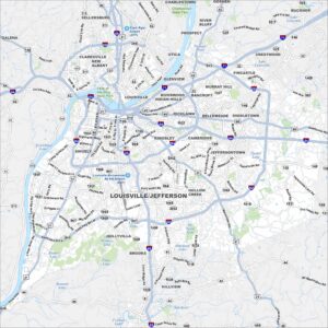
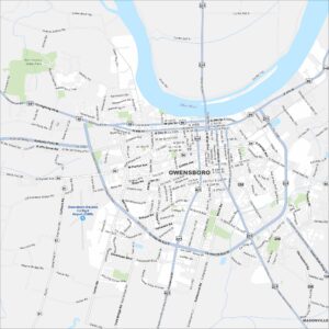
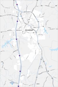
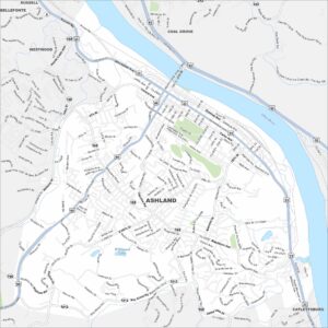
Here are Kentucky’s cities in full detail