Satellite Map of Rhode Island
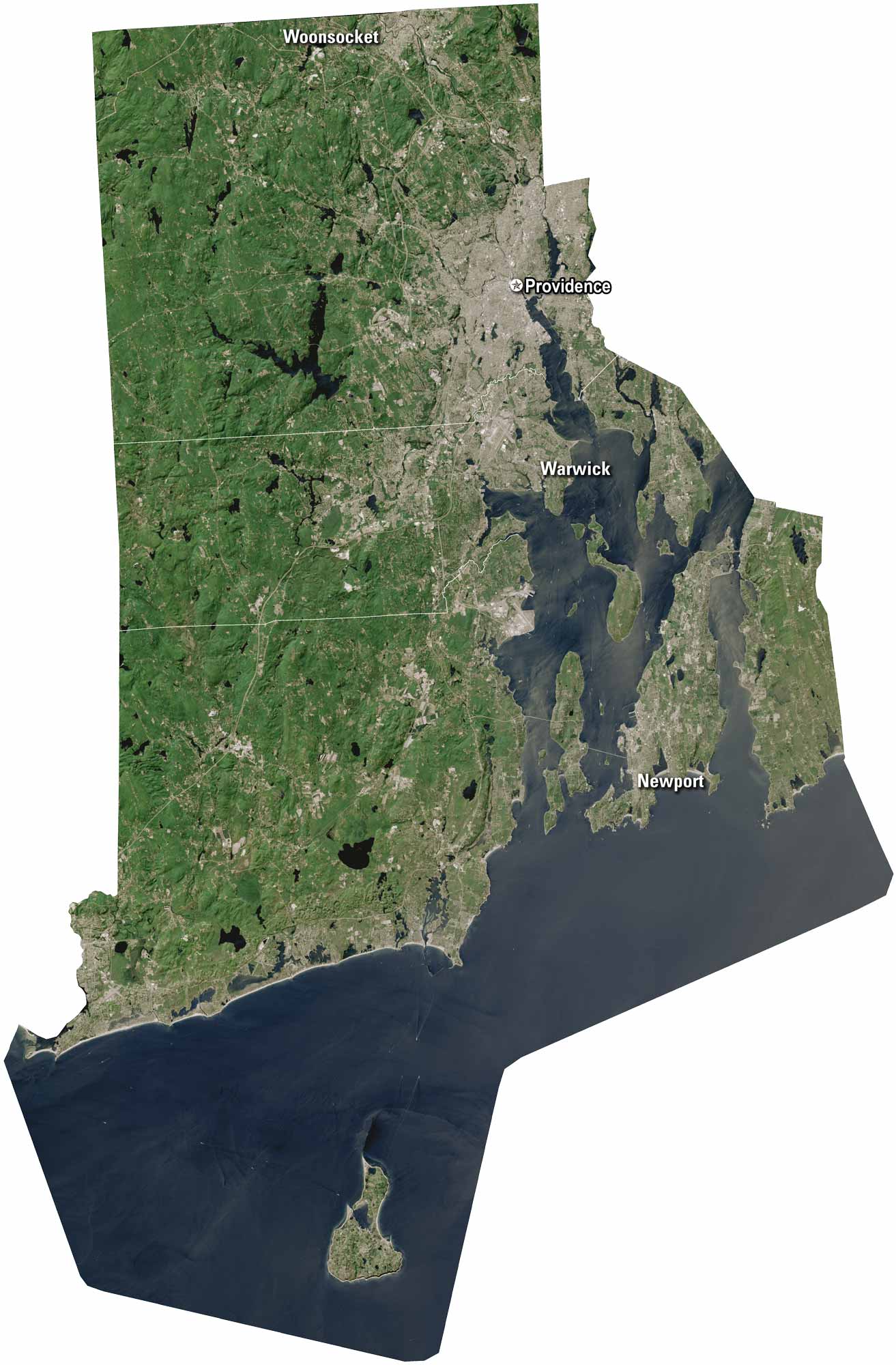
Rhode Island may be small, but it’s seriously packed with some character. Providence sits along Narragansett Bay. But Newport is located in the south on Aquidneck Island. You can see on our satellite map how the coastline has bays and inlets all around it.
Map Information
On the Map
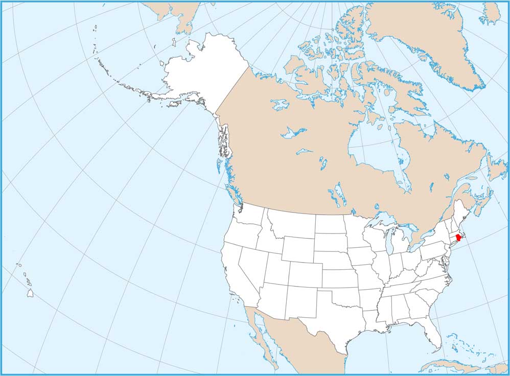
Neighboring State Maps
Find satellite map of neighboring states

