Home » State Maps » Satellite Map of Tennessee

Satellite Map of Tennessee

Tennessee Satellite Map

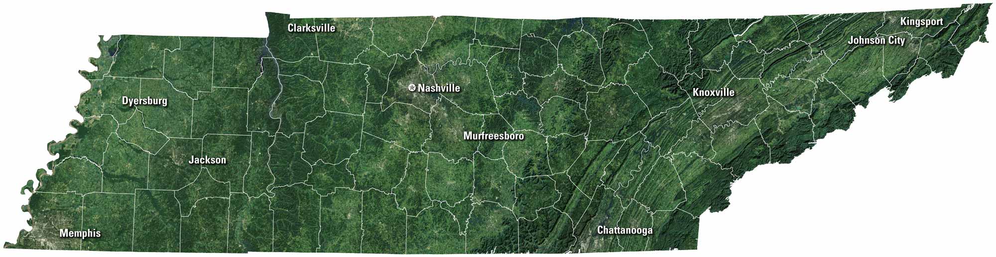
Tennessee rolls from the Smoky Mountains to the Mississippi River. Nashville thrives on country music, while Memphis carries the blues. Chattanooga and Knoxville sit along the ridges and rivers, tying the state together. It’s a place of deep history but also constant movement forward. See it all in our satellite map of Tennessee.
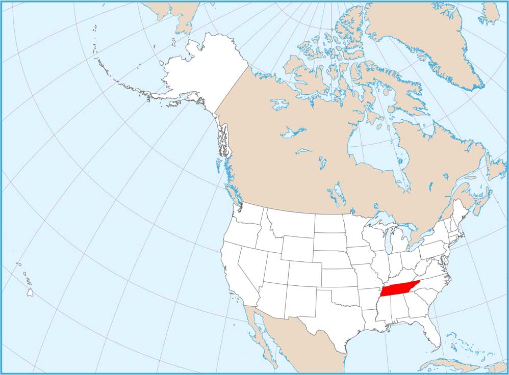
Map Information

  • State of Tennessee
  • Satellite Map of Tennessee with Landsat-8 Imagery
  • Free for personal and commercial purpose. Attribution is required. How to attribute?

On the Map

Tennessee Location Map
Cities/Towns (Labels): Clarksville, Nashville, Murfreesboro, Knoxville, Chattanooga, Johnson City, Kingsport, Dyersburg, Jackson, Memphis Mountain Ranges: Great Smoky Mountains, Blue Ridge Mountains, Cumberland Plateau Major Rivers: Tennessee River, Cumberland River, Mississippi River (western border) Lakes/Reservoirs: Kentucky Lake, Norris Lake, Cherokee Lake

References

  1. NASA Worldview Earthdata
  2. USGS State Mosaics

Leave a Reply

Your email address will not be published. Required fields are marked *