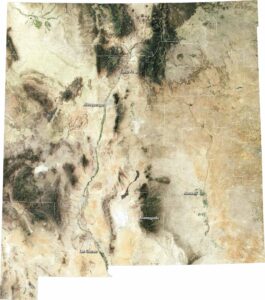
Satellite Map of Texas
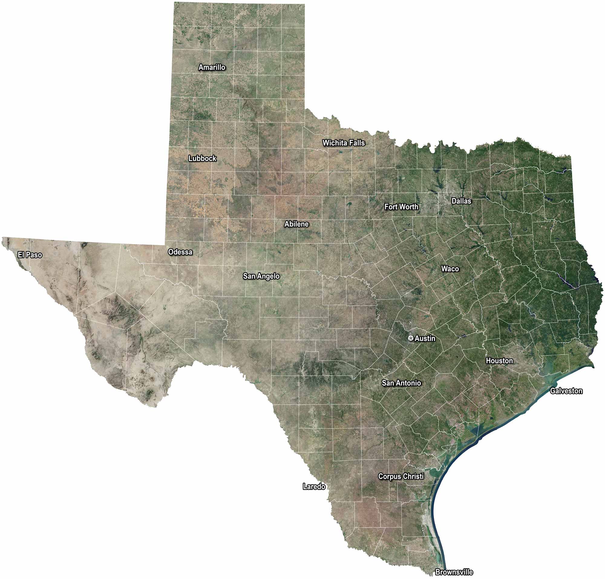
Texas stretches from desert plains to piney woods. Houston and Dallas buzz with energy, but Austin keeps its own rhythm with music and culture. The Rio Grande winds along the border. Wide skies make the land feel endless in our satellite map of Texas.
Map Information
On the Map
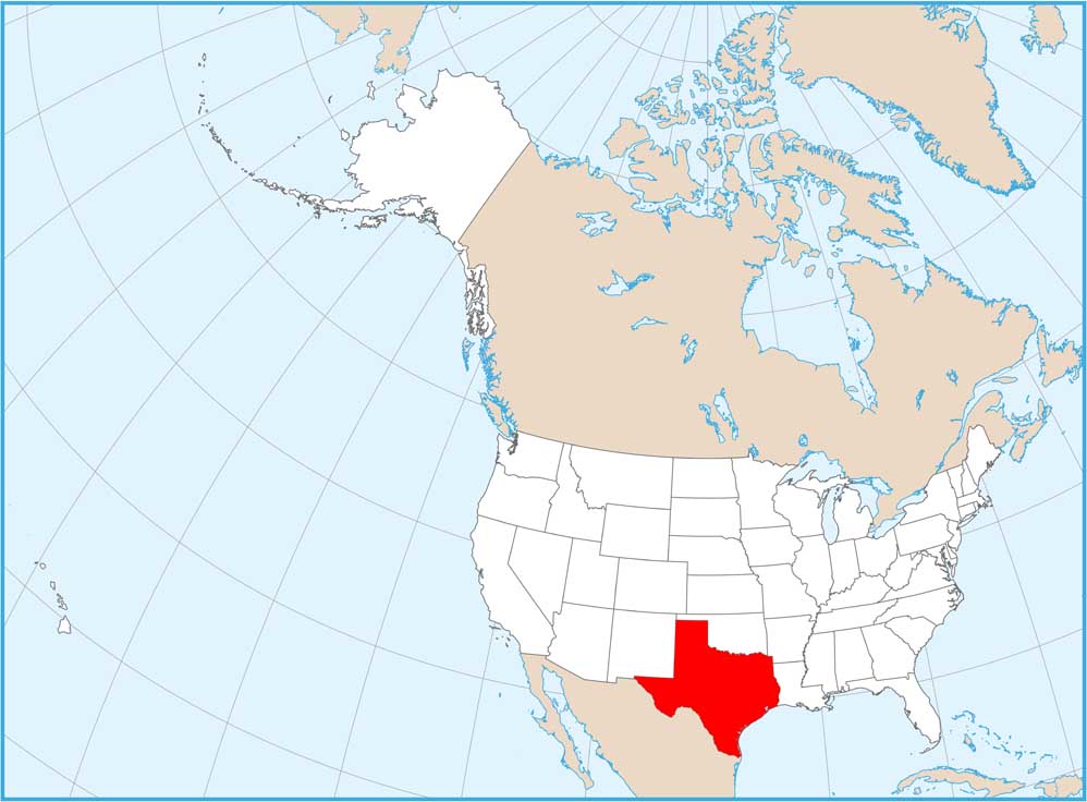
Neighboring State Maps
Find satellite map of neighboring states