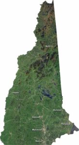
Satellite Map of Vermont
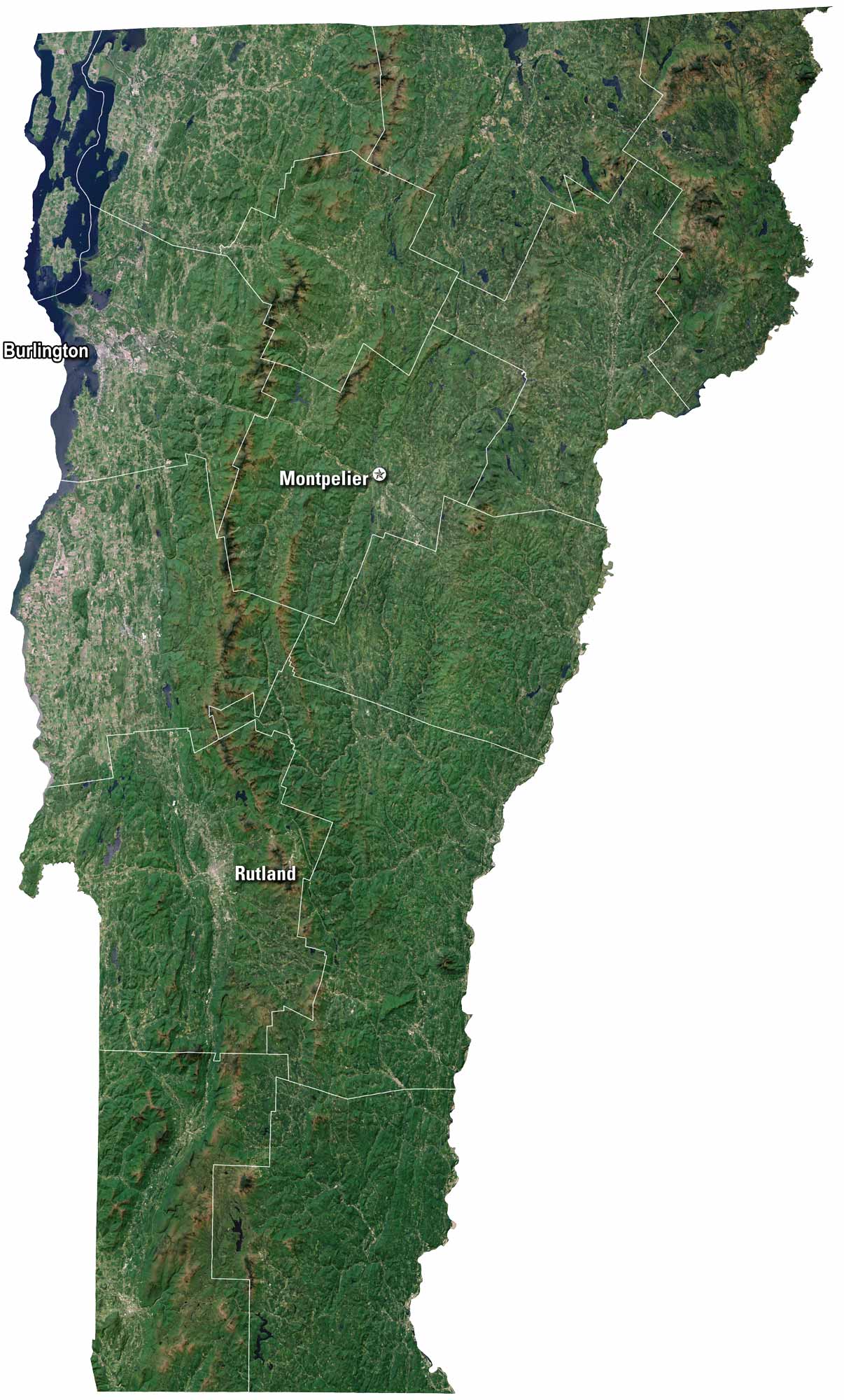
Vermont has green mountains and a landscape that feel timeless. Rivers carve through farmland and forest. Our satellite map of Vermont shows Burlington, which sits on Lake Champlain. But Montpelier holds the title of capital of the state.
Map Information
On the Map
Neighboring State Maps
Find satellite map of neighboring states