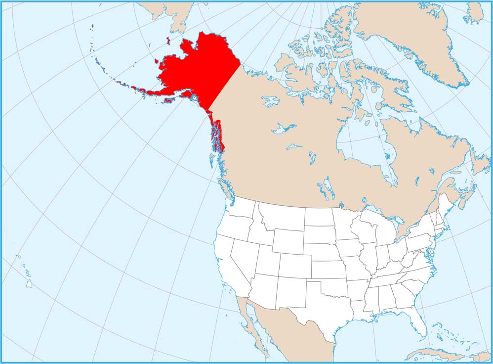
Satellite Map of Alaska
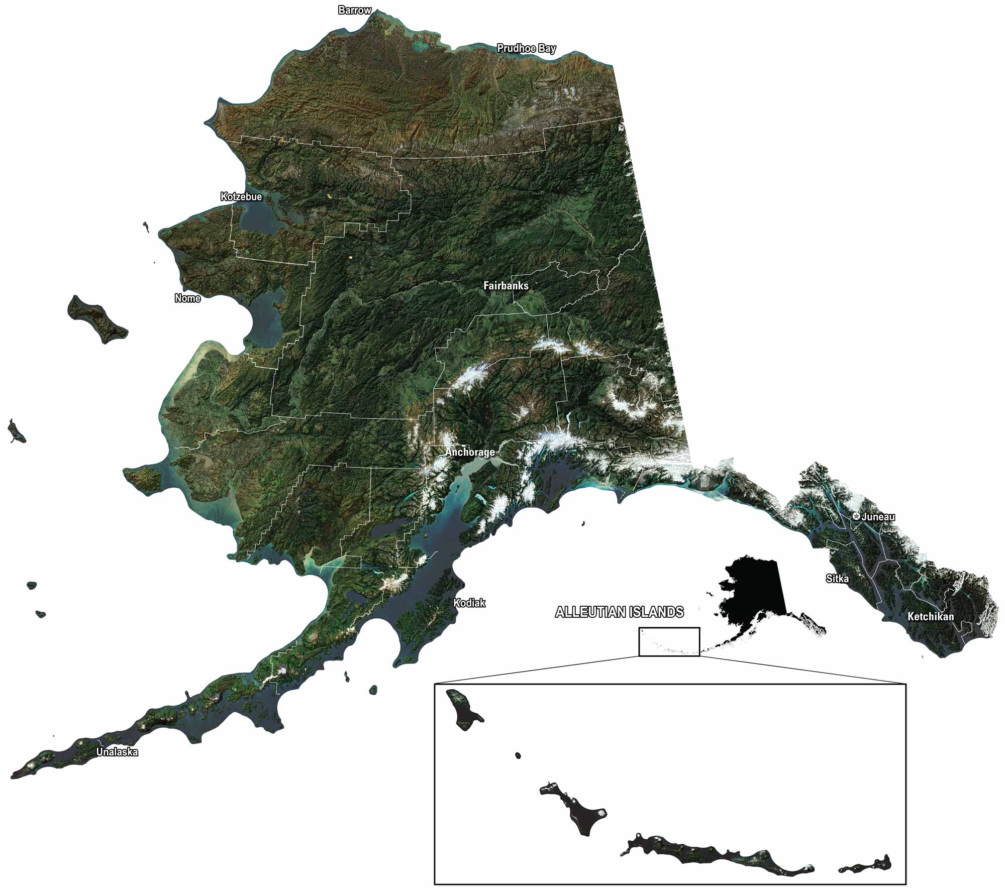
Our satellite map of Alaska shows mountains, glaciers, and endless forest. You can spot Anchorage, Juneau, and Fairbanks marked clearly on the map. Rivers like the Yukon and Kuskokwim wind across the land. Then, out west, the Aleutian Islands stretch into the ocean. It’s a map of big spaces and wild beauty.
Map Information
On the Map