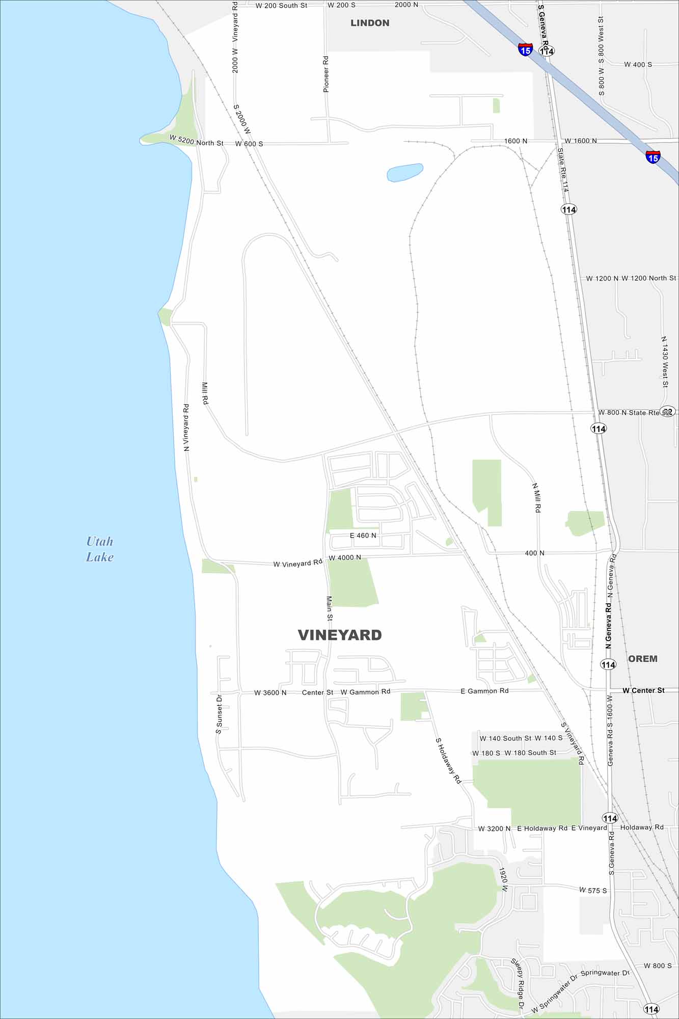
Map of Vineyard, Utah
Check out Vineyard, a fast-growing city near Utah Lake. Our map shows parks, major roads, and its quick access to the mountains.
Map Information
On the Map
Interstates/Highways: I-15, State Rte 114, State Rte 52 Major Roads: Geneva Rd, Main St, Vineyard Rd, Center St, Gammon Rd, Holdaway Rd, Mill Rd, Sunset Dr, Sleepy Ridge Dr, Springwater Dr, Pioneer Rd, 400 N, 1600 N, 2000 N, 800 N, 400 S, 800 S Lakes and Reservoirs: Utah Lake Nearby Communities: Lindon, OremUtah State Maps
Look through maps of deserts, parks, and cities.


City Maps of Utah
Here is Salt Lake City and Utah’s urban regions.


