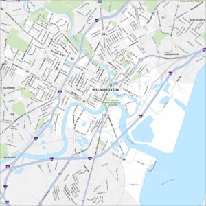
Map of Wilmington, Delaware
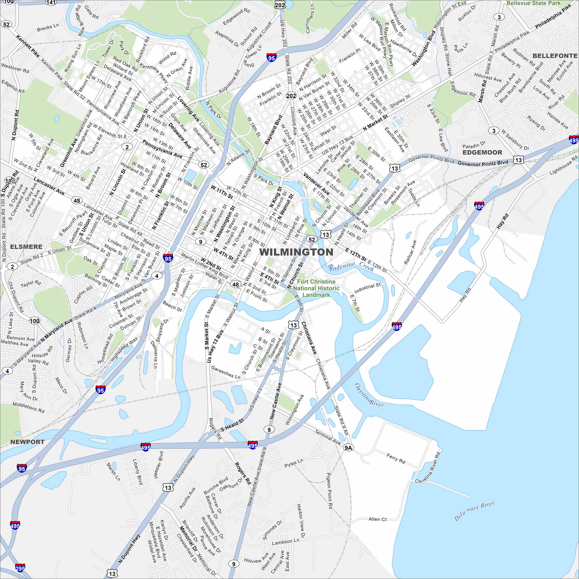
Get a snapshot of Wilmington, located at the intersection of the Christina River and Brandywine Creek. Its riverfront and downtown core shape the city.
Map Information
On the Map
Interstates/Highways: I-95, I-495, US Hwy 13, US Hwy 202, State Rte 2, State Rte 4, State Rte 9, State Rte 48, State Rte 52, State Rte 141 Major Roads: Market St, Delaware Ave, Pennsylvania Ave, Concord Pike, Philadelphia Pike, Governor Printz Blvd, Martin Luther King Blvd, Fourth St, Union St, Lancaster Ave, Maryland Ave, Dupont Hwy, New Castle Ave, Miller Rd, Baynard Blvd, Broom St, Franklin St, Washington St, Walnut St, Heald St Major Rivers: Delaware River, Christina River Parks and Forests: Bellevue State Park, Fort Christina National Historic Landmark Nearby Communities: Elsmere, Newport, Bellefonte, EdgemoorDelaware City Maps
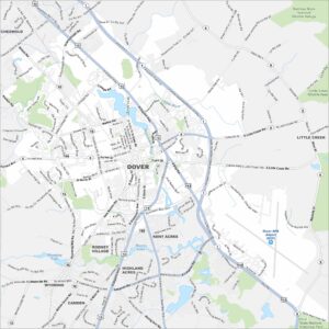
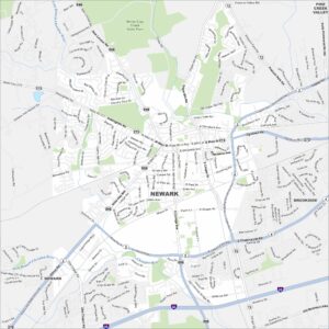
Find Wilmington and maps of Delaware’s cities here