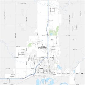
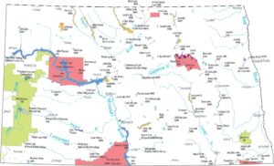
Map of Williston, North Dakota

Our map of Williston, North Dakota highlights this city in the Bakken oil region. It’s a growing hub along the Missouri River to the south.
Map Information
On the Map
Interstates/Highways: US Hwy 2, US Hwy 85, US Hwy 85 Bus, State Rte 1804 Major Roads: Broadway, Frontage Rd, 2nd Ave, 26th St, 42nd St, 58th St, 11th St, 32nd Ave, University Ave, Main St, 14th St, 18th St, 4th St, 2nd St, 139th Ave, 135th Ave, 134th Ave, 133rd Dr, Riverside Dr, Bison Dr Major Rivers: Missouri RiverNorth Dakota State Maps
Find the map you need of the Peace Garden State.
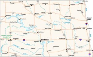


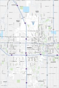
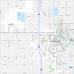
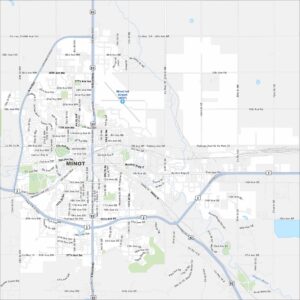
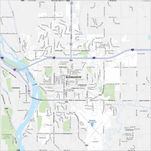
City Maps of North Dakota
North Dakota city maps made simple