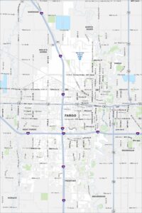
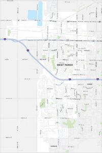
Map of West Fargo, North Dakota

Check out West Fargo, one of the fastest-growing cities in the state. Our map shows its highways, parks, and easy routes into Fargo.
Map Information
On the Map
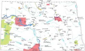
Interstates/Highways: I-94, US Hwy 10, State Rte 294, State Rte 17 Major Roads: Main Ave, 13th Ave, 32nd Ave, 40th Ave, 52nd Ave, 9th St, Sheyenne St, 45th St, Veterans Blvd, 8th St, 170th Ave, 26th St, 12th Ave, 19th Ave, 7th Ave, 15th St, 14th St, 10th Ave, Bluestem Dr, 6th St Major Rivers: Sheyenne River Nearby Communities: Fargo, HoraceNorth Dakota State Maps
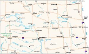
Find the map you need of the Peace Garden State.


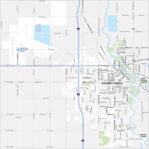
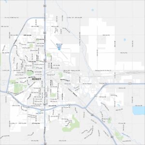
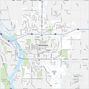
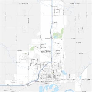
City Maps of North Dakota
North Dakota city maps made simple