Map of West Chester Borough, Pennsylvania
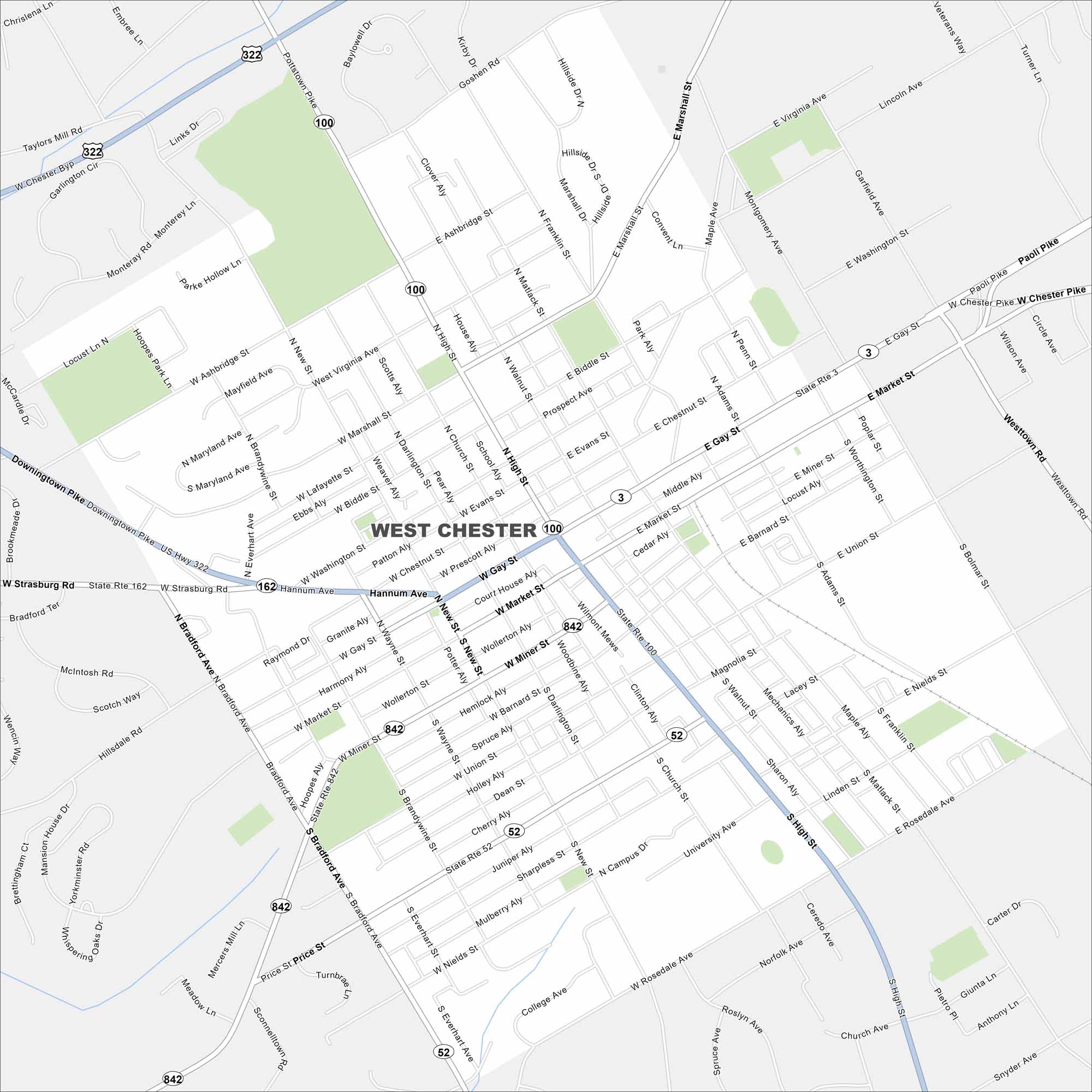
Our map of West Chester highlights its brick-lined streets and historic downtown. As the Chester County seat, it’s filled with shops, cafes, and culture.
Map Information
On the Map
Interstates/Highways: US Hwy 322, State Rte 3, State Rte 52, State Rte 100, State Rte 162, State Rte 842 Major Roads: High St, Market St, Gay St, West Chester Pike, Paoli Pike, Hannum Ave, Strasburg Rd, Bradford Ave, Union St, Rosedale Ave, Marshall St, Montgomery Ave, University Ave, College Ave, New St, Darlington St, Church St, Matlack St, Franklin St, Bolmar St Nearby Communities: Green TreePennsylvania State Maps
Browse maps throughout the Keystone State.


City Maps of Pennsylvania
Here is our city map collection for all of Pennsylvania.


